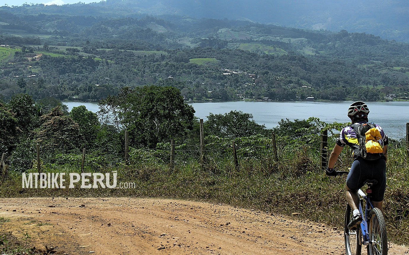
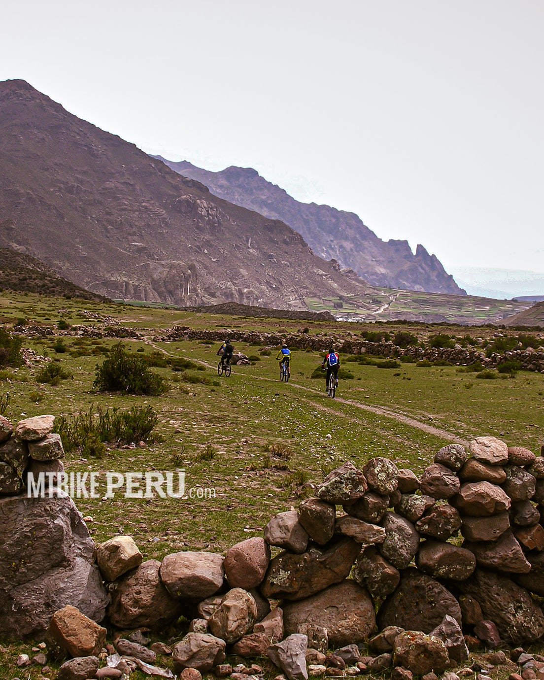
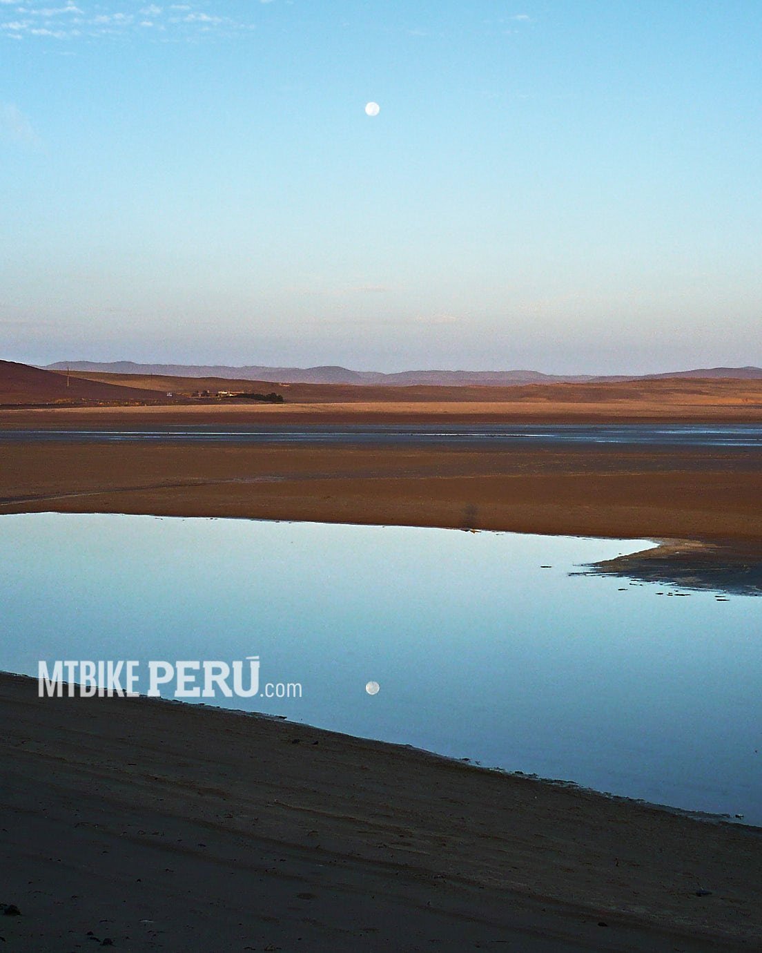
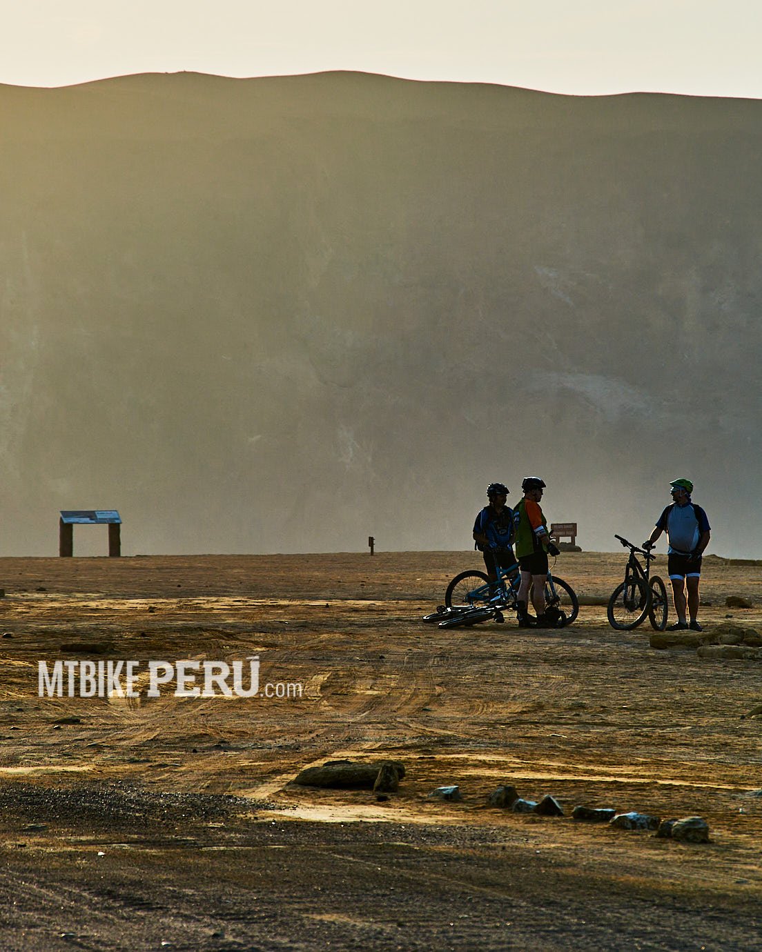
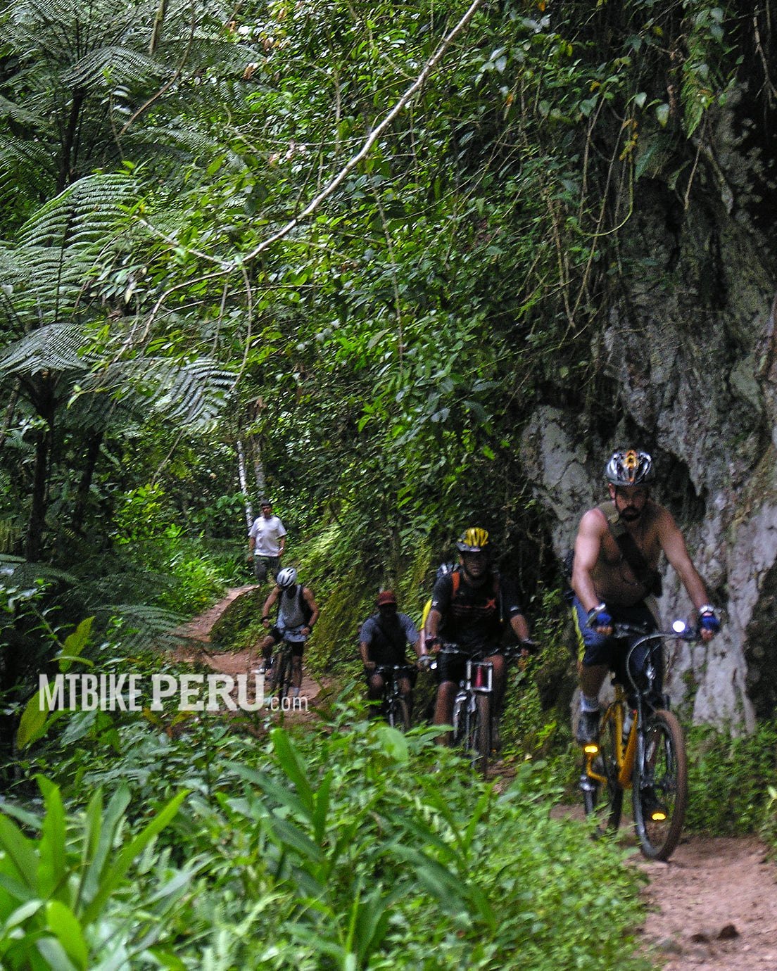
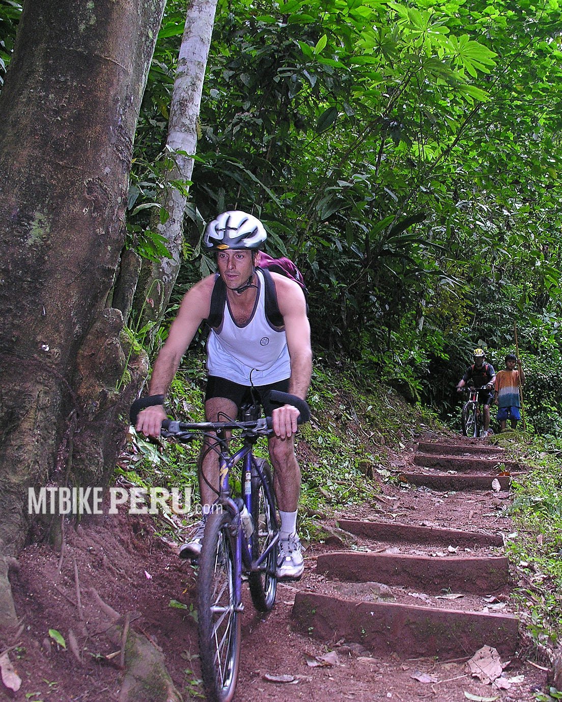
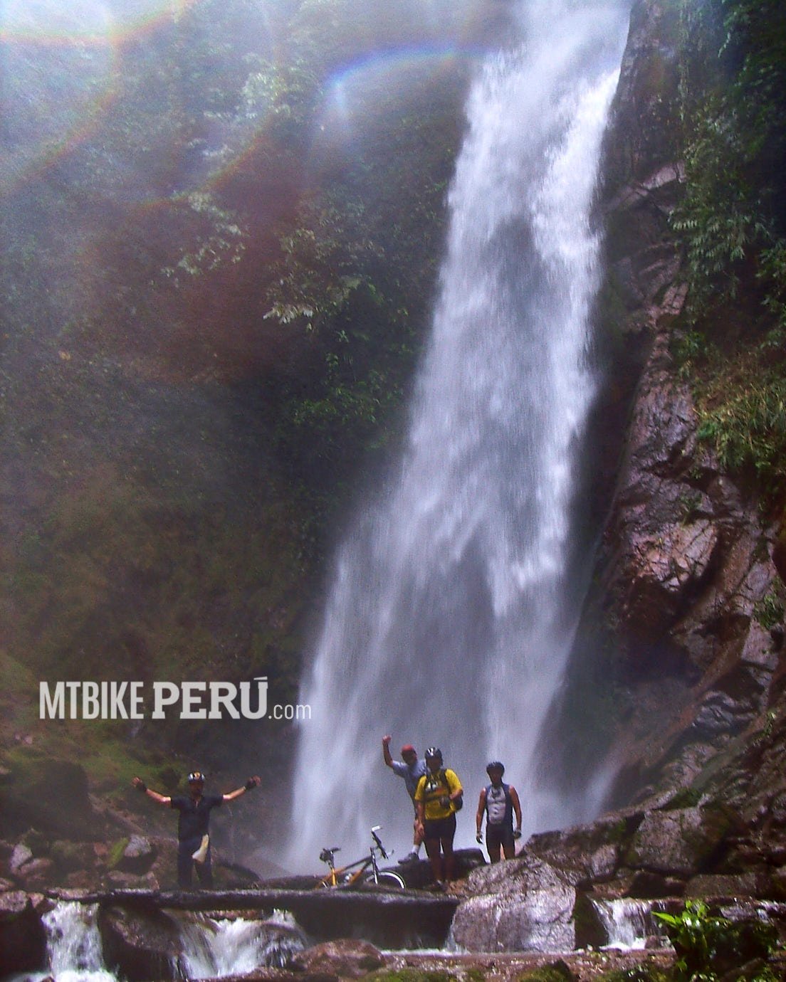
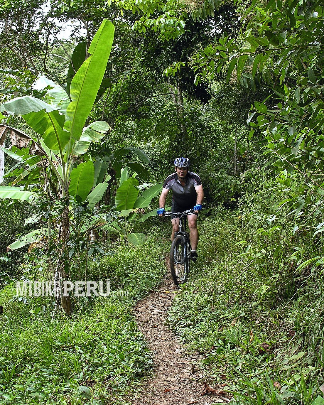
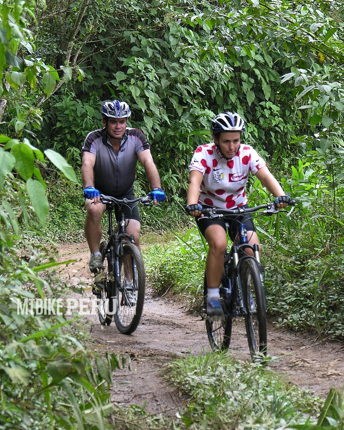
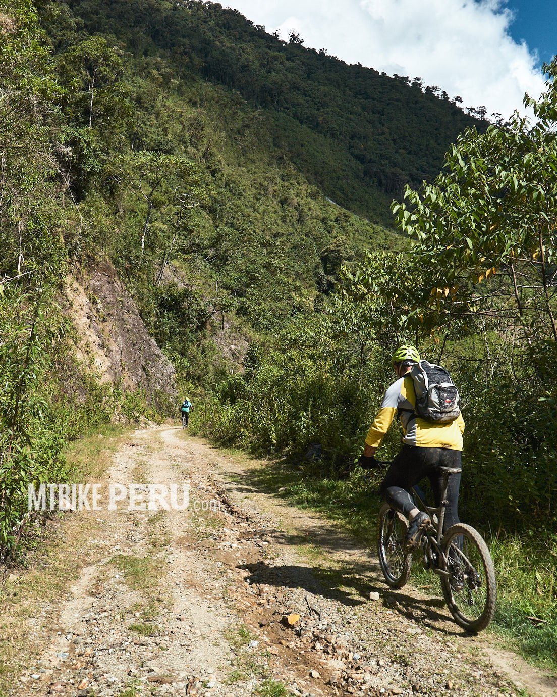
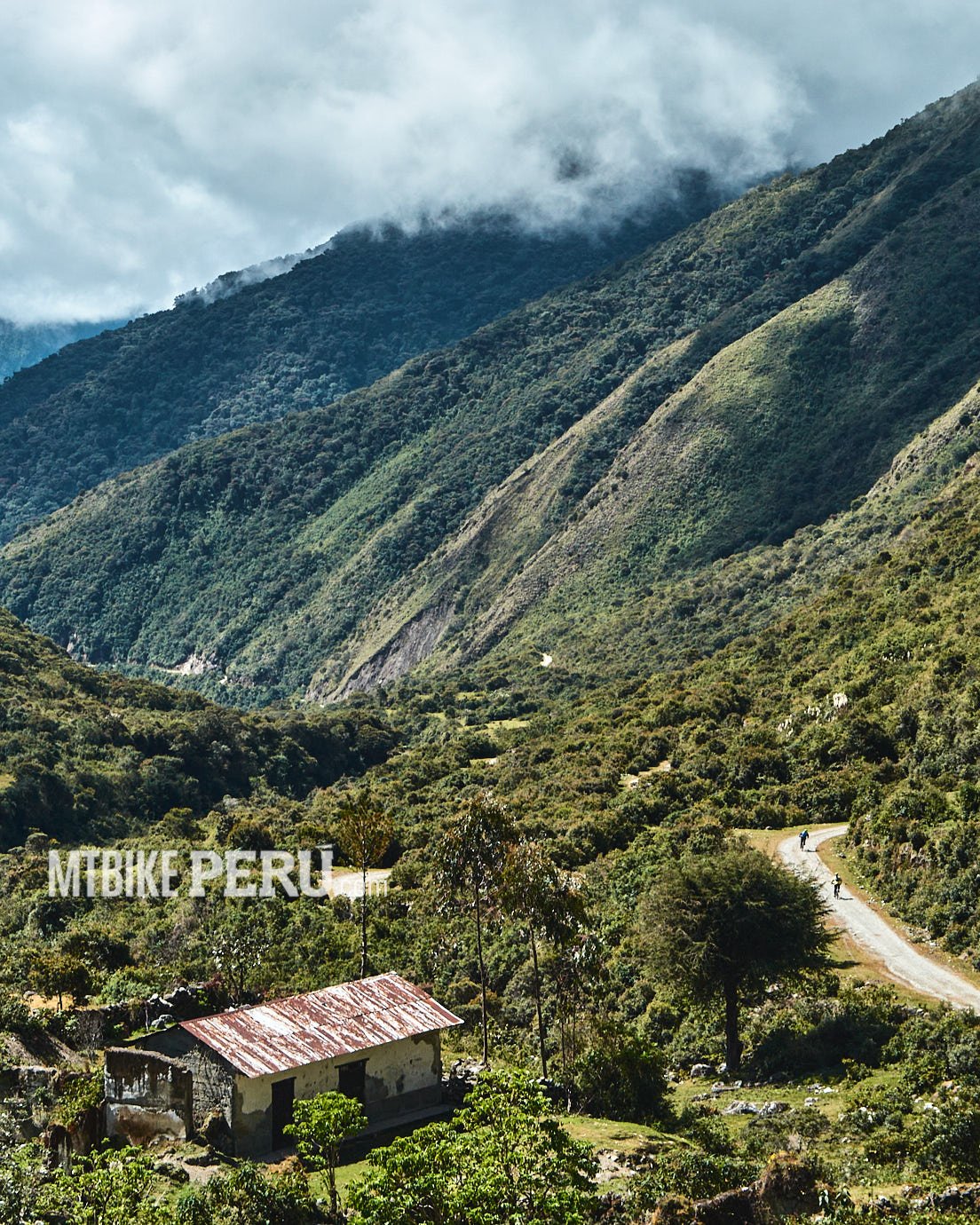
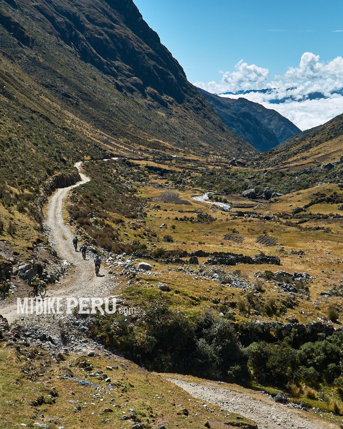
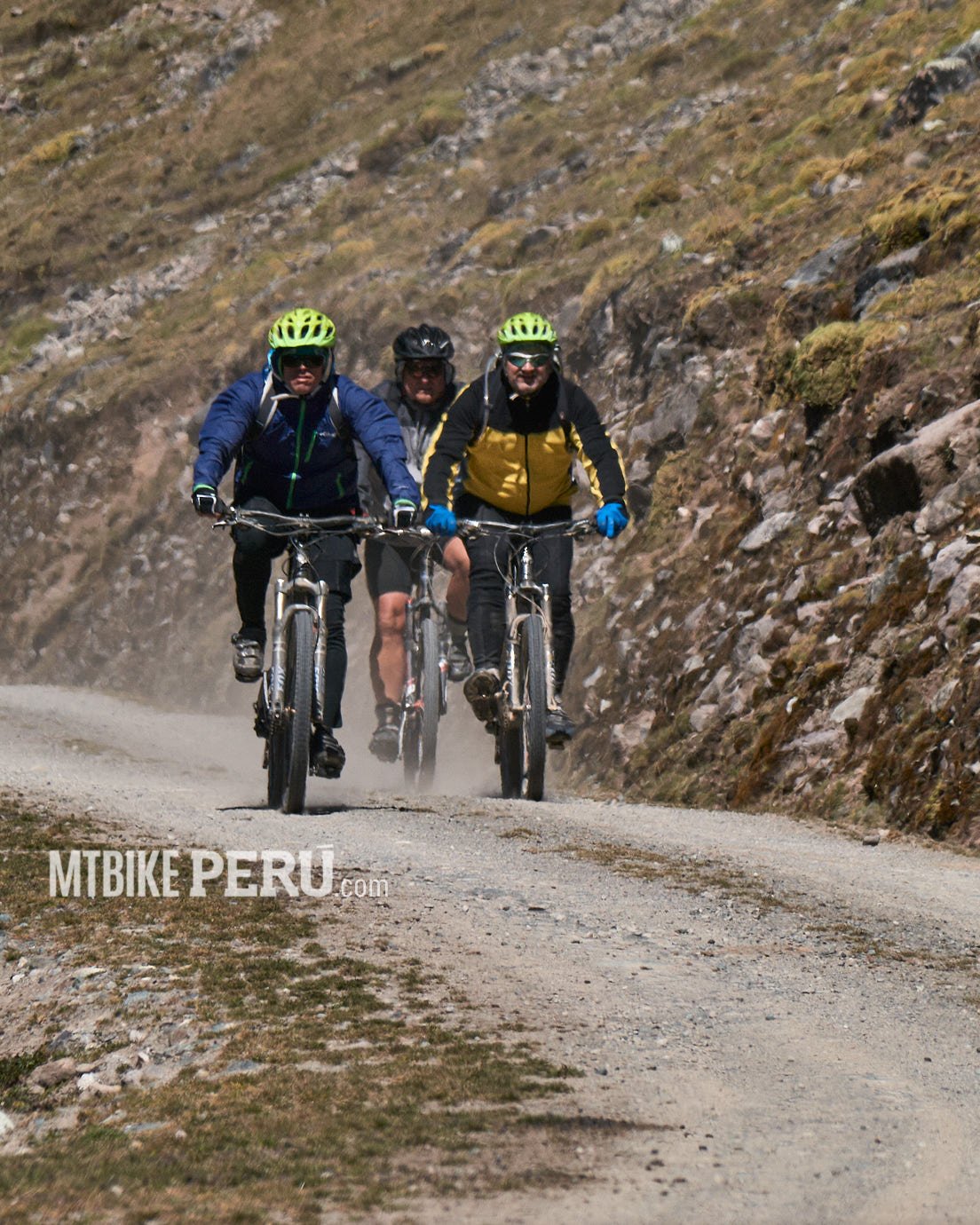
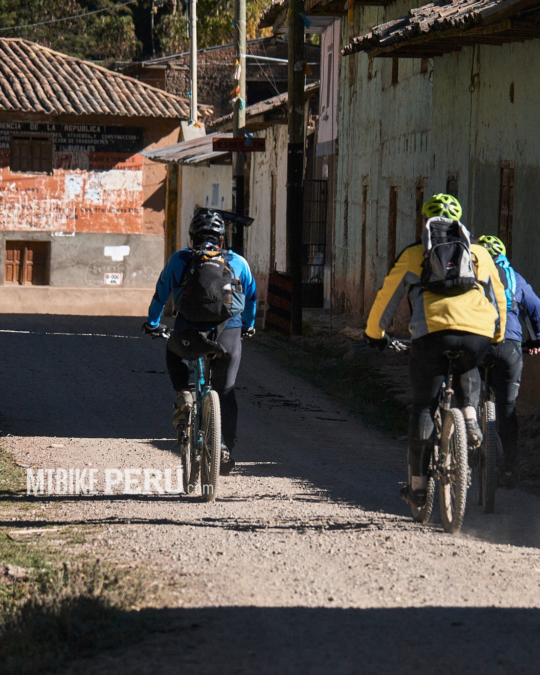
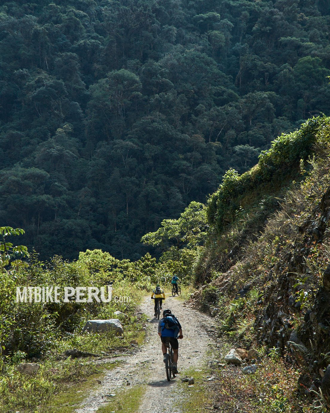
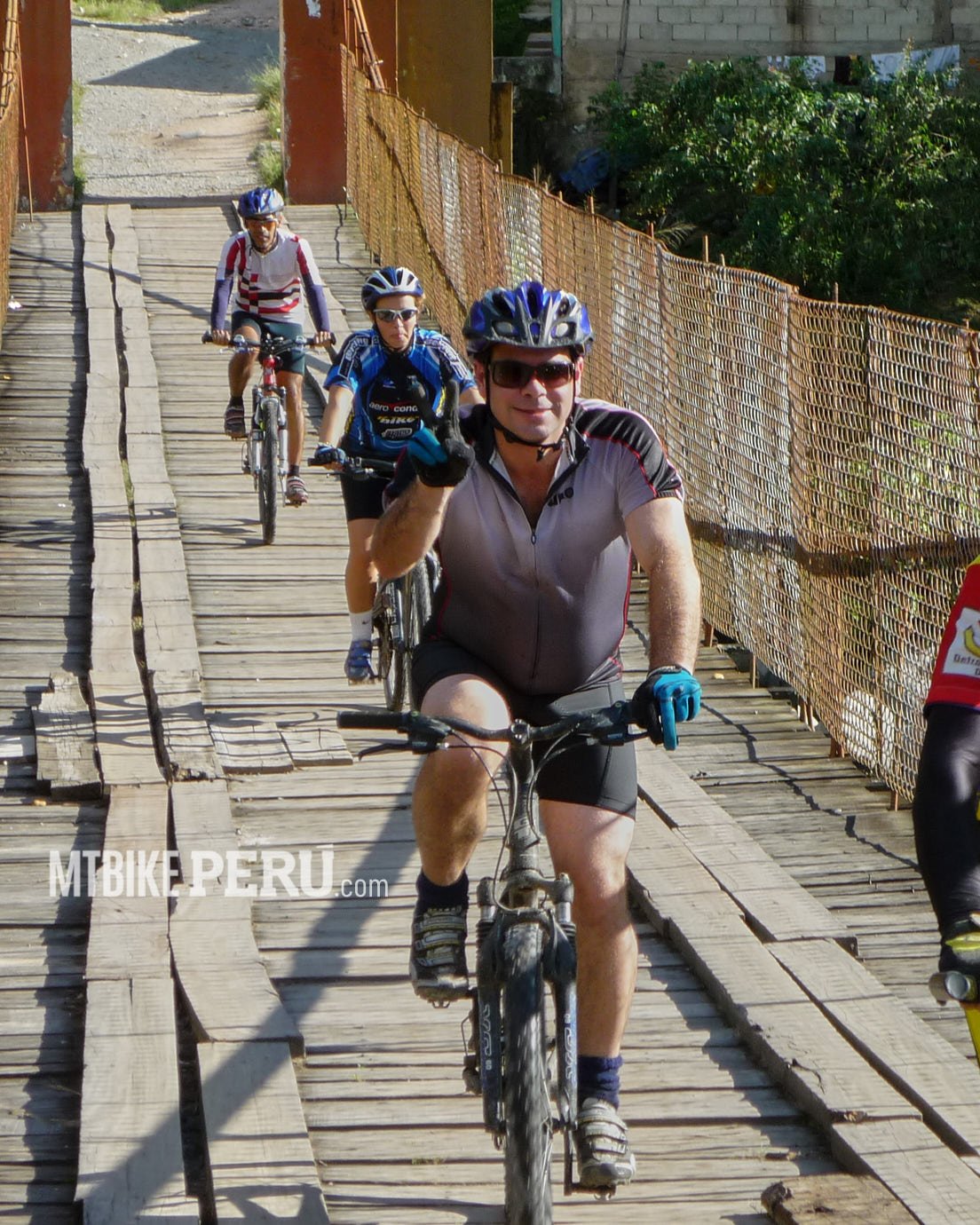
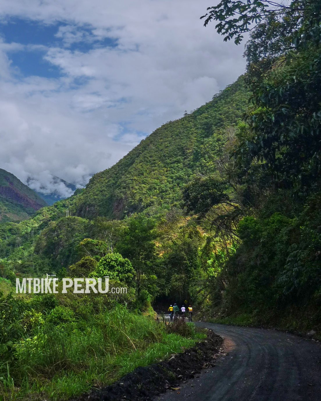
Once on the other side of the Huallaga River there was no help, so we start to ride with the sun on our heads trying to annihilate us. But finally we arrived, the route is a good direct ascent without stops
Continue readingColca Inca Trail
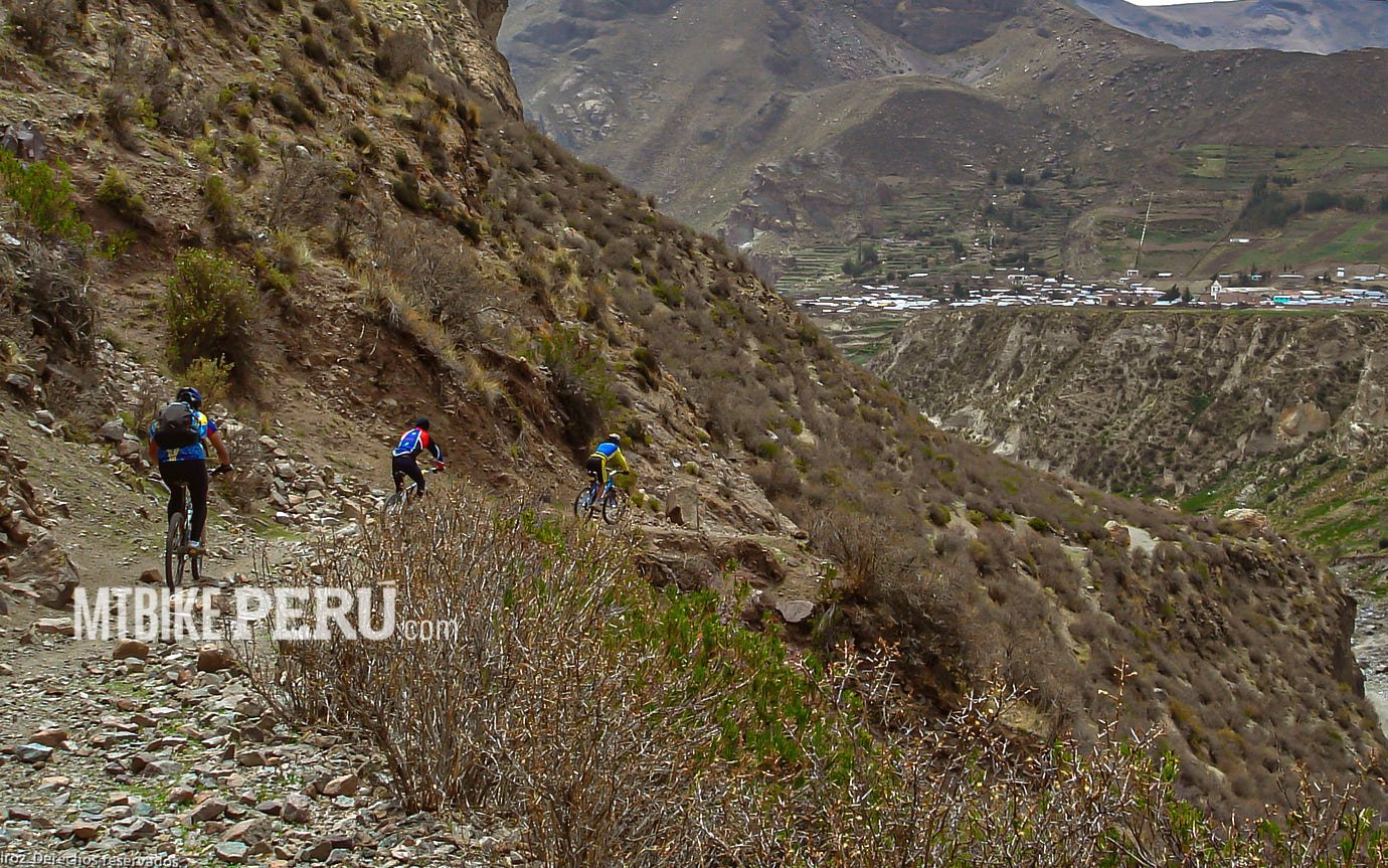
Colca Inca Trail
We explored this route almost 15 years ago and have not had the chance to go back again, but I´ve seen on Google some changes made by the local people, building some roads, maybe beside the former trail. Anyway, on that occasion, I went with César Ortega and Iñigo Maneiro, on those years Casa Andina Hotels wanted to develop adventure routes, so we were in charge to do the scouting, and we contact a local tour operator from Chivay named Pedro Samayani and a local rider, winner of local races, with them we went to explore.
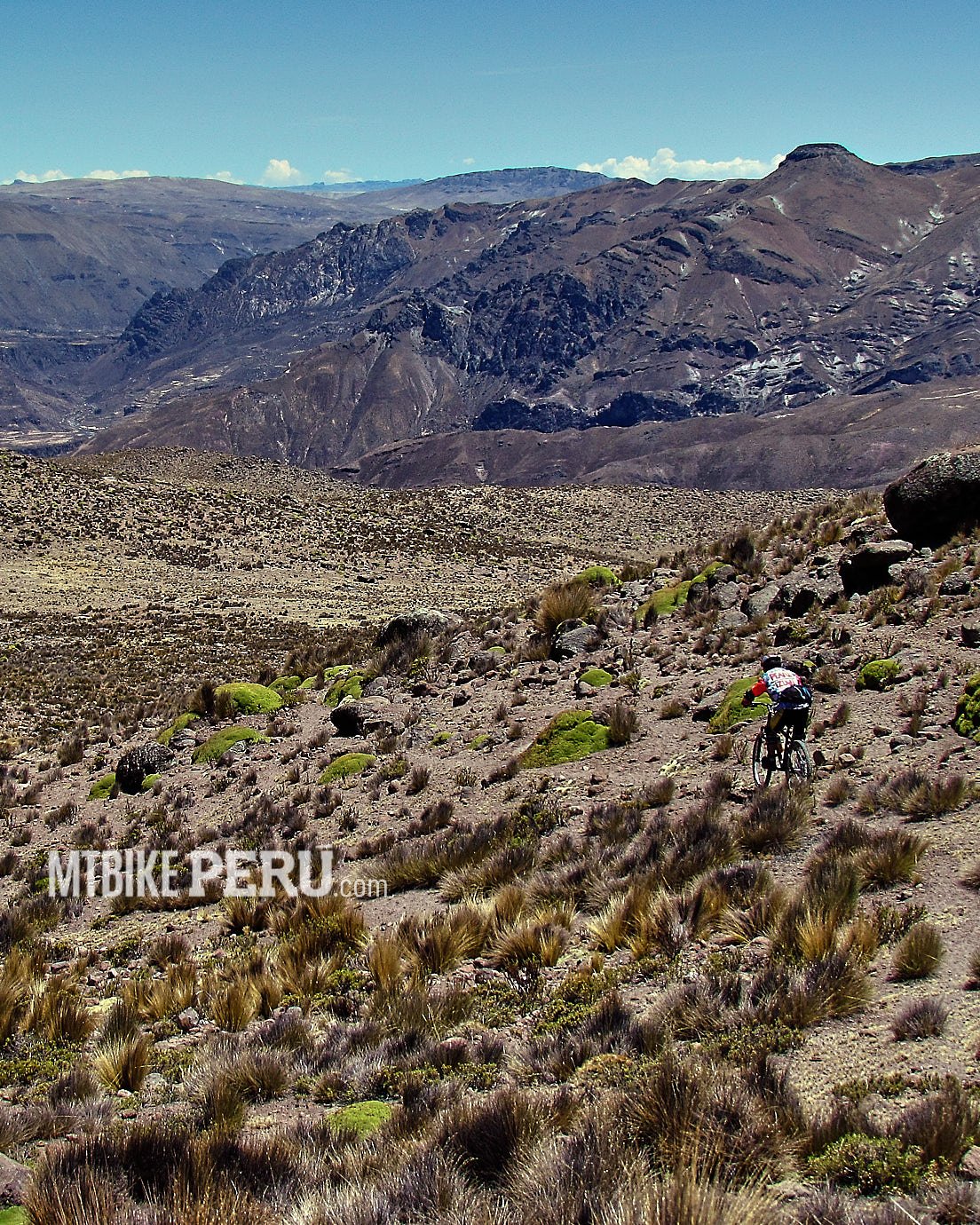
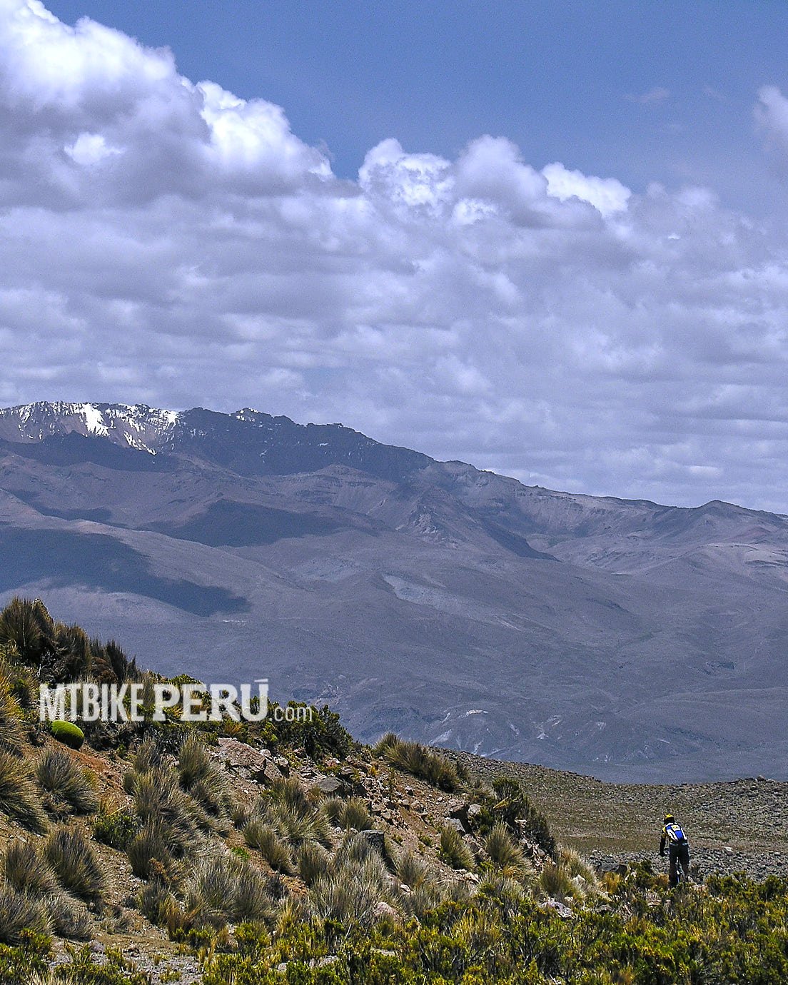
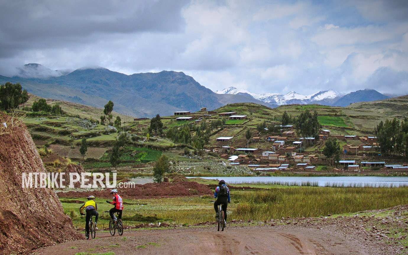
We started from Sibayo village at 3800m. We crossed the bridge that goes to Espinar in Cusco and we turn right to follow then, the left side of the Colca River, at the beginning the trail is not clear but little by little it starts to show itself as a very regular path even with carved cliffs with stone stairs.
The track goes from 3800+ to 3500+ of altitude but is not a descend, on the way we found many points to climb, not a lot really, but at 3500m you can feel the lack of air in your head.
As ever, the advice is to bring all your mechanical and foodstuff, the trip takes some hours and there is no help to find.
The track ends very close to the Hot Springs of La Calera of Chivay, so it´s a great deal for an after-ride to enjoy a warm bath and some cold beers.
Paracas West side
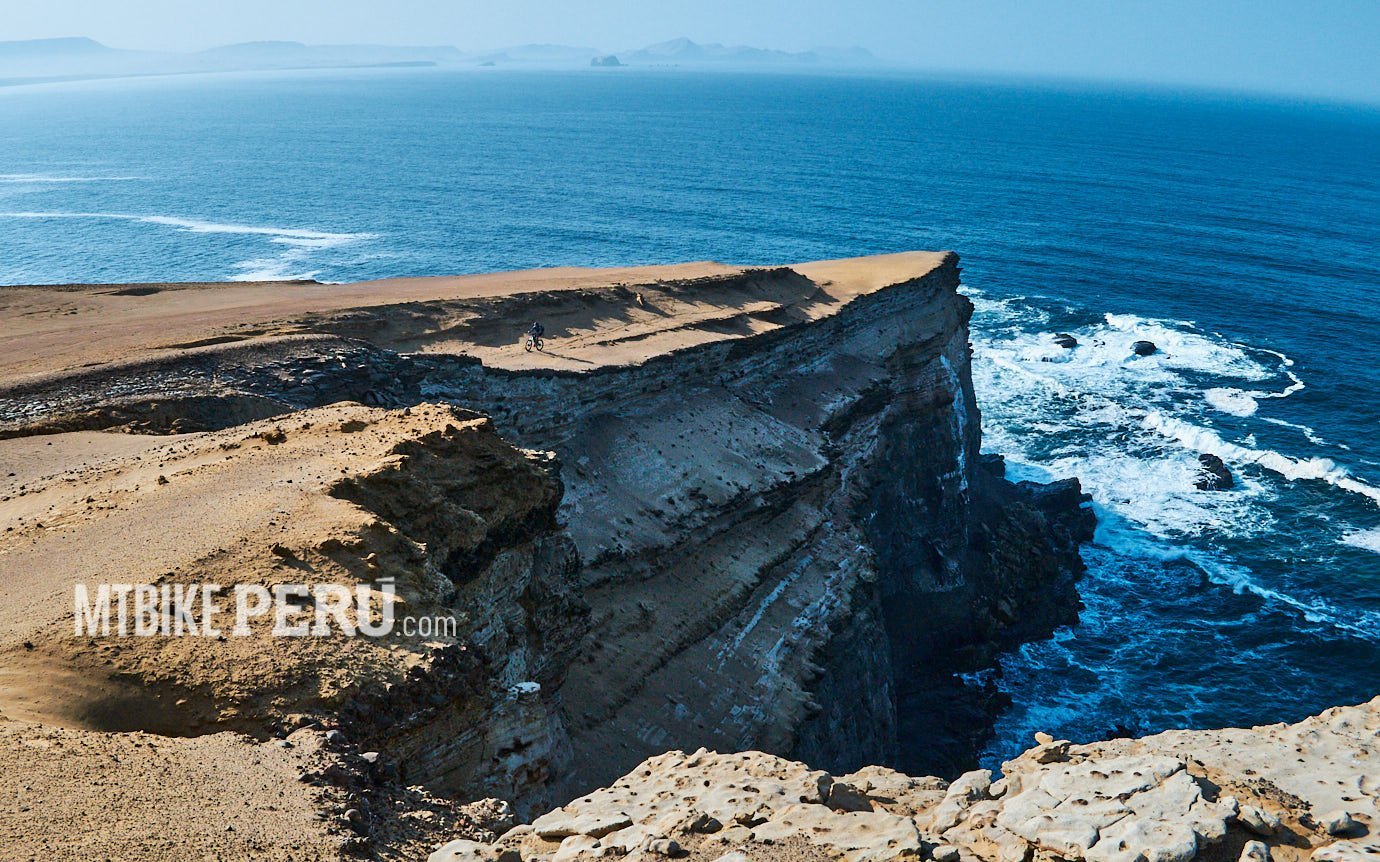
Paracas West side
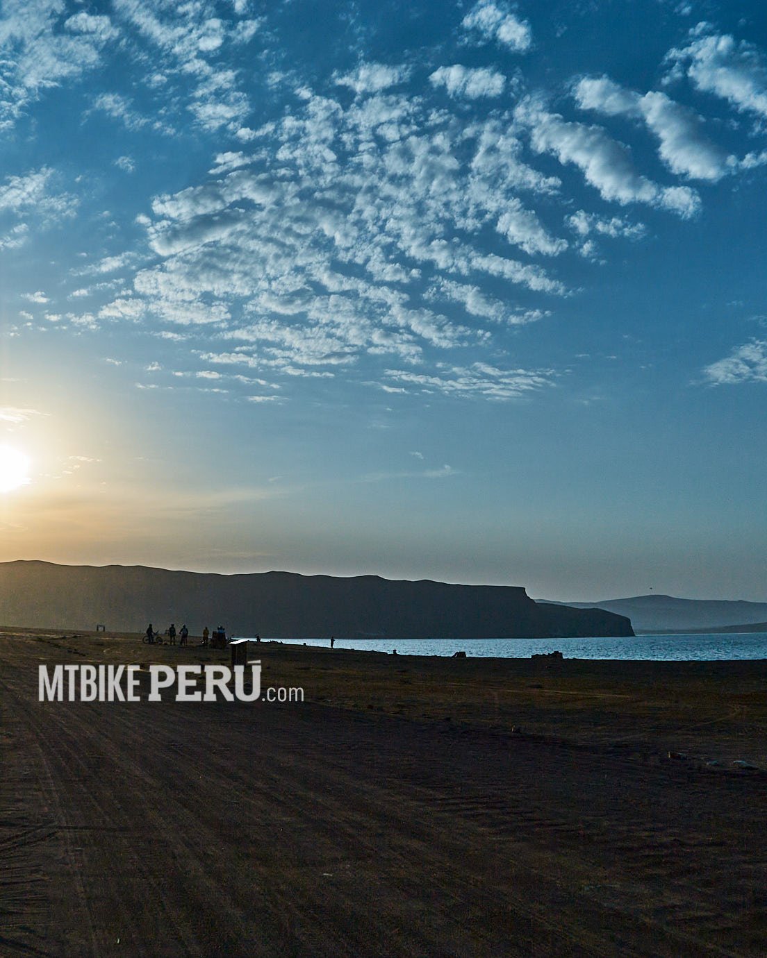
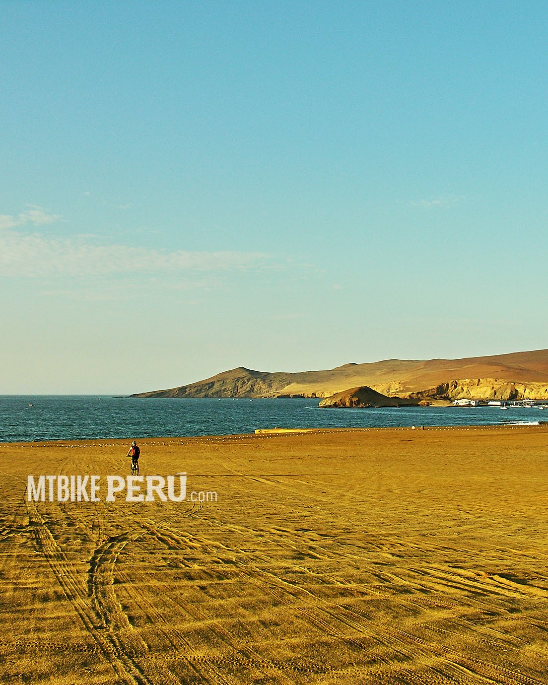
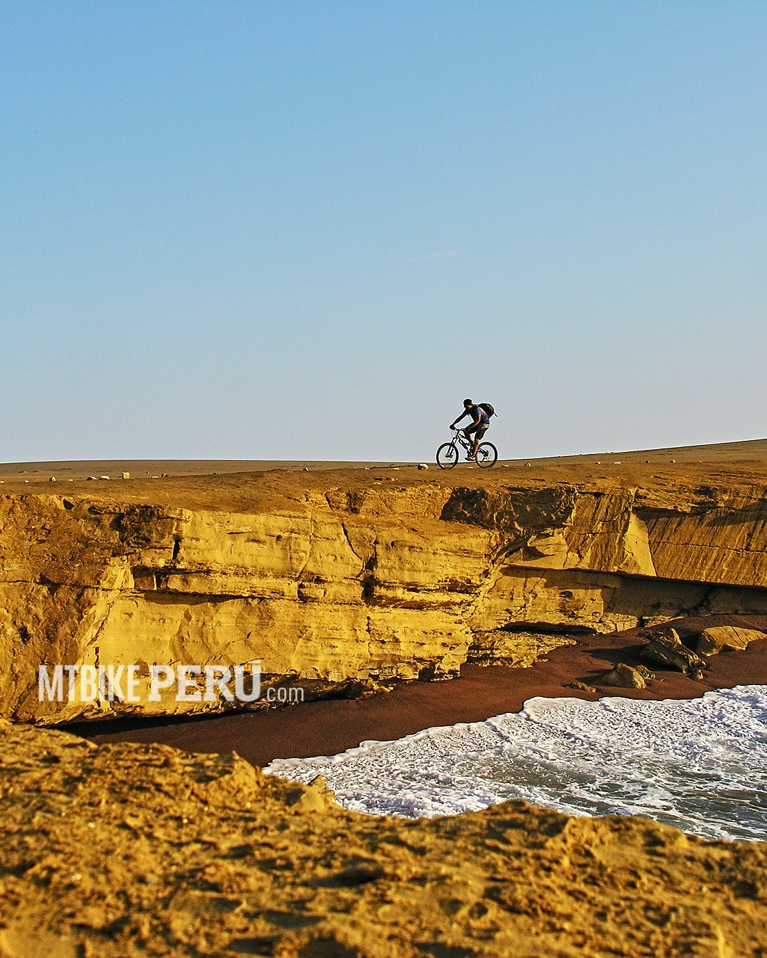
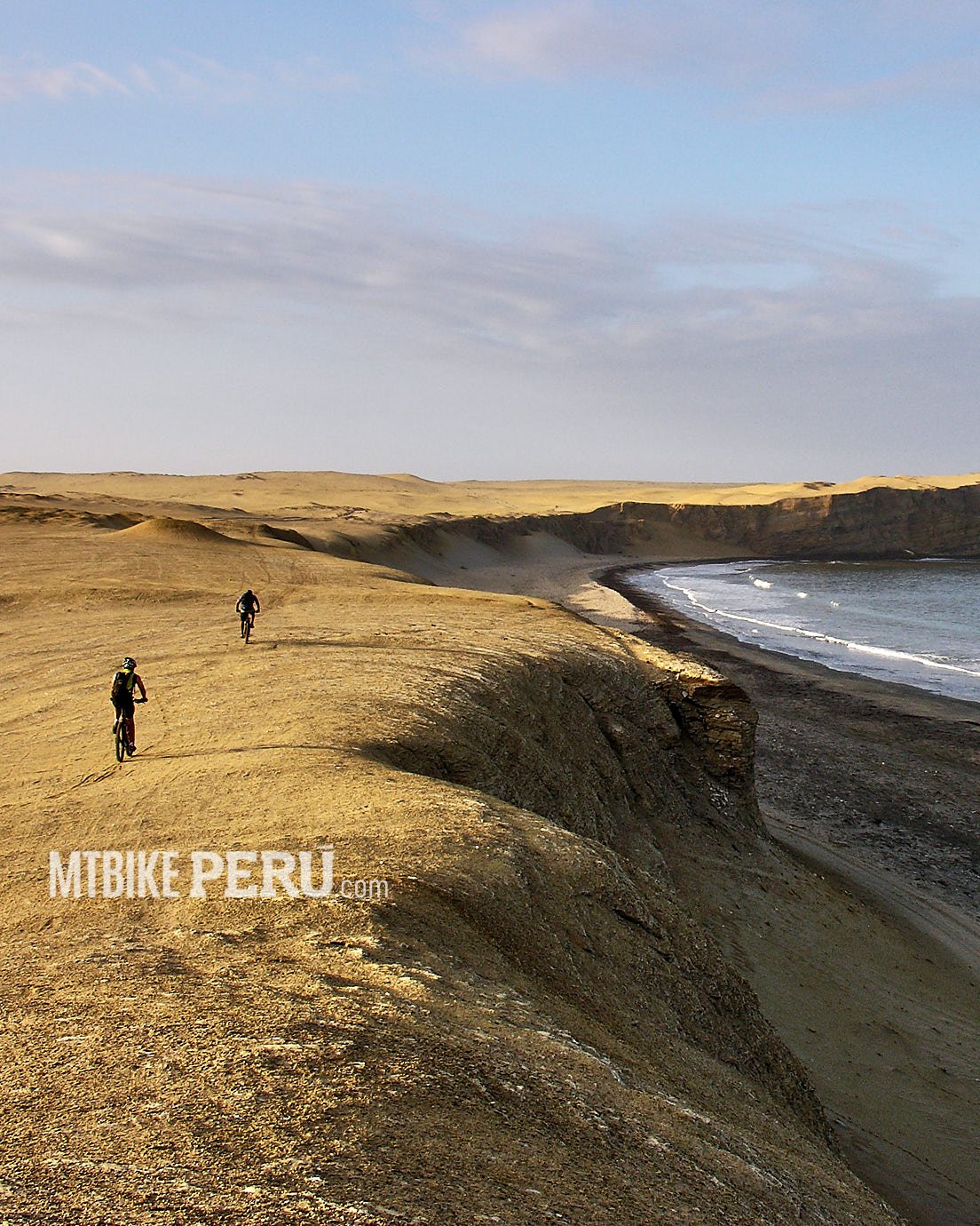
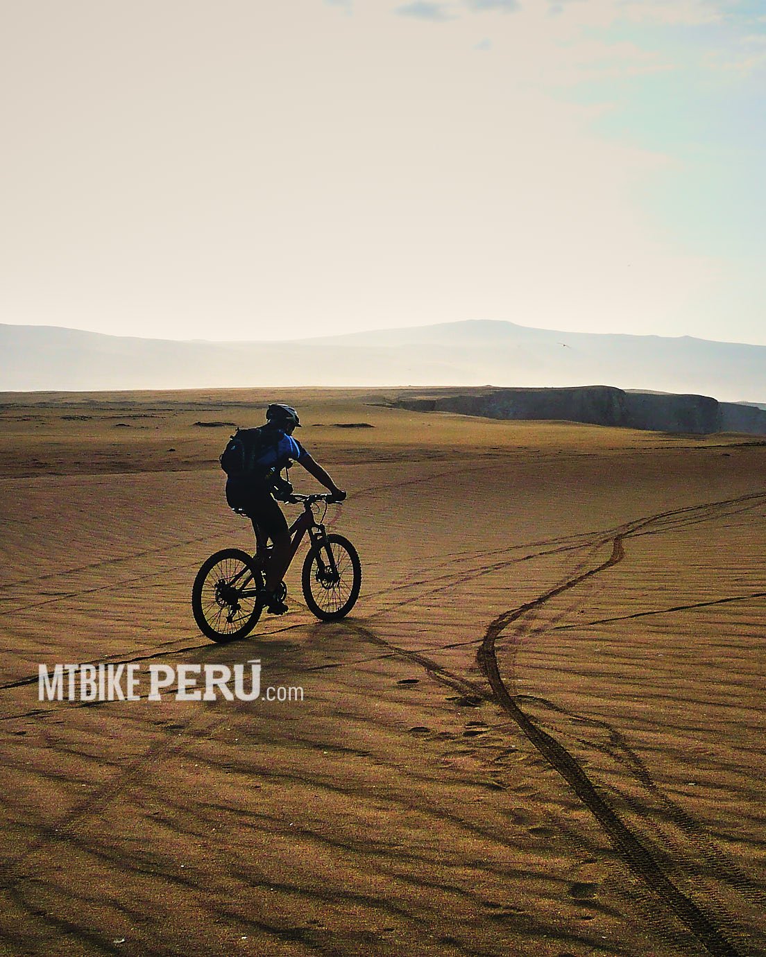
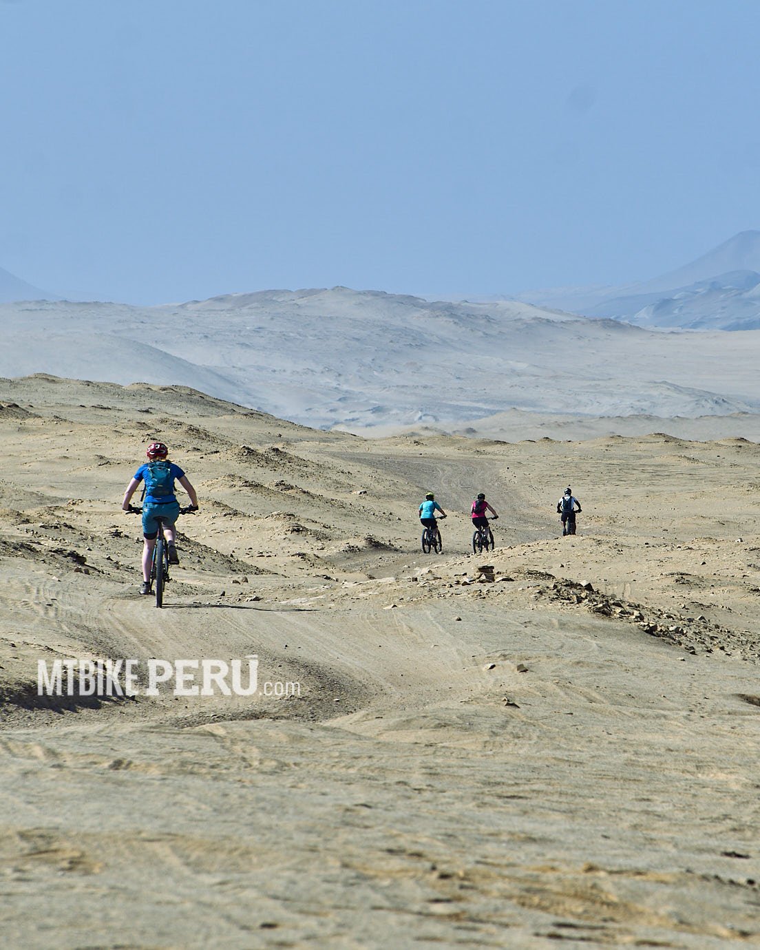
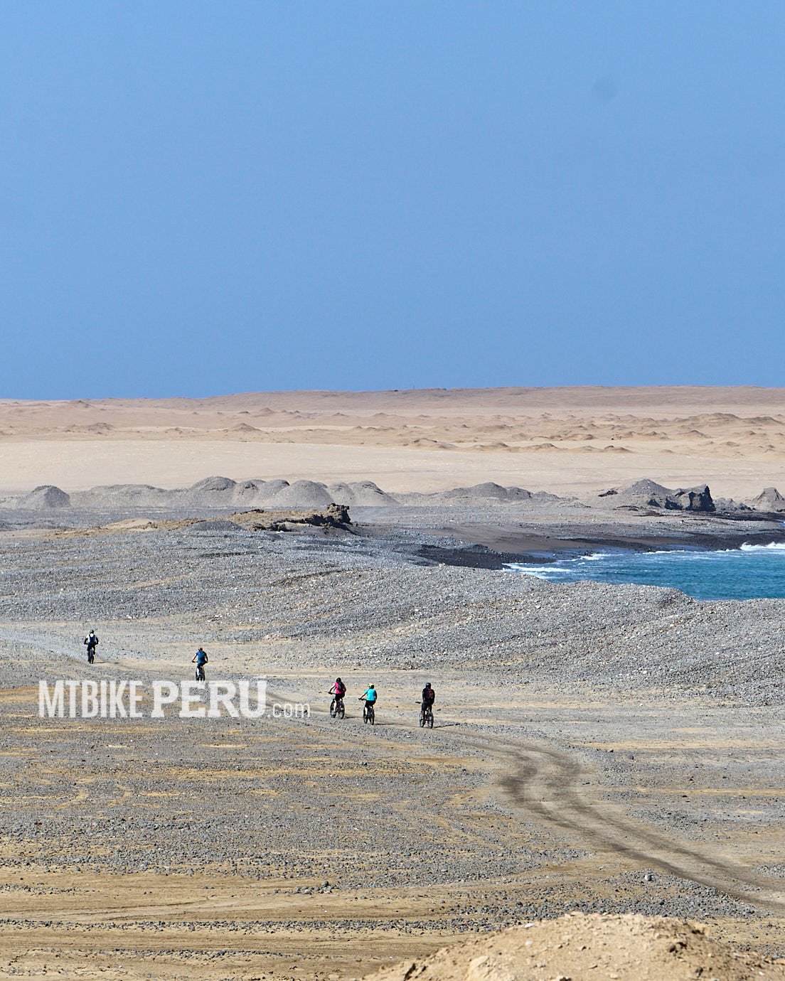
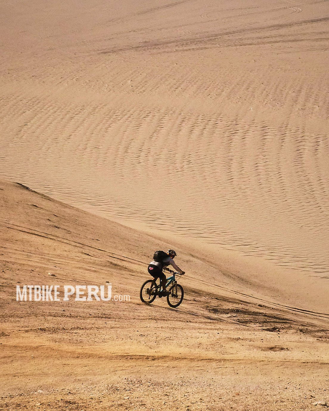
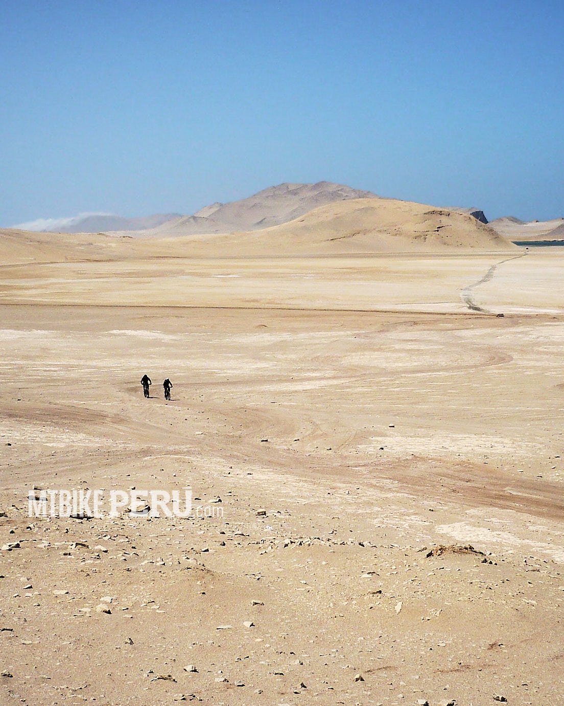
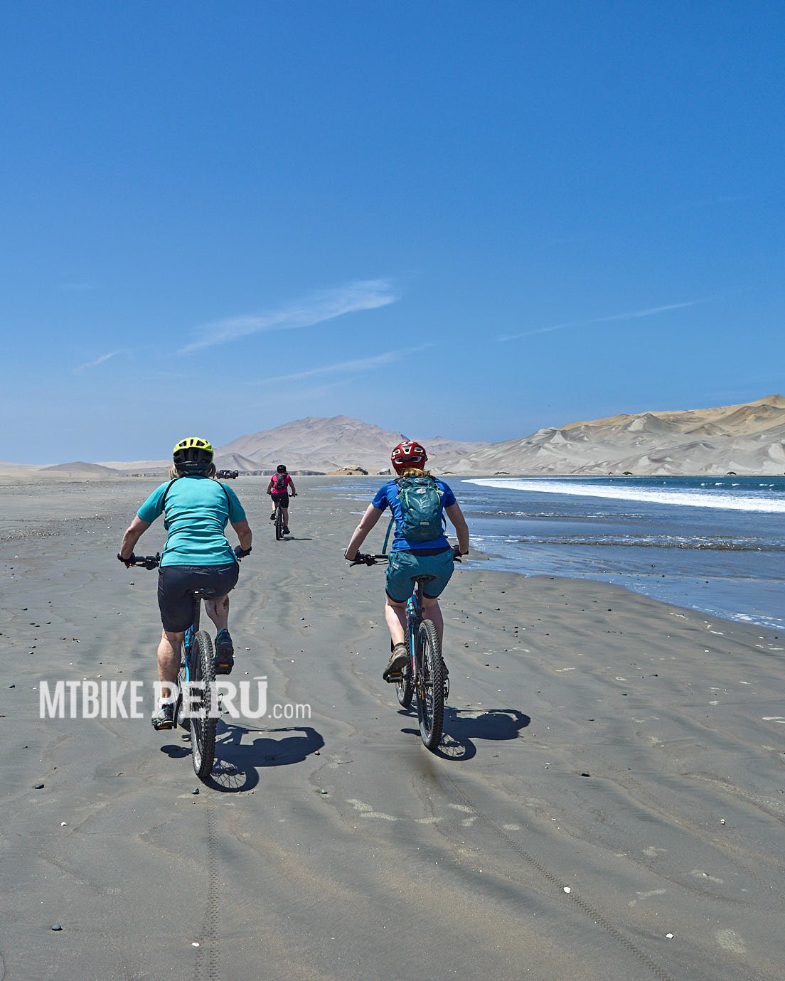
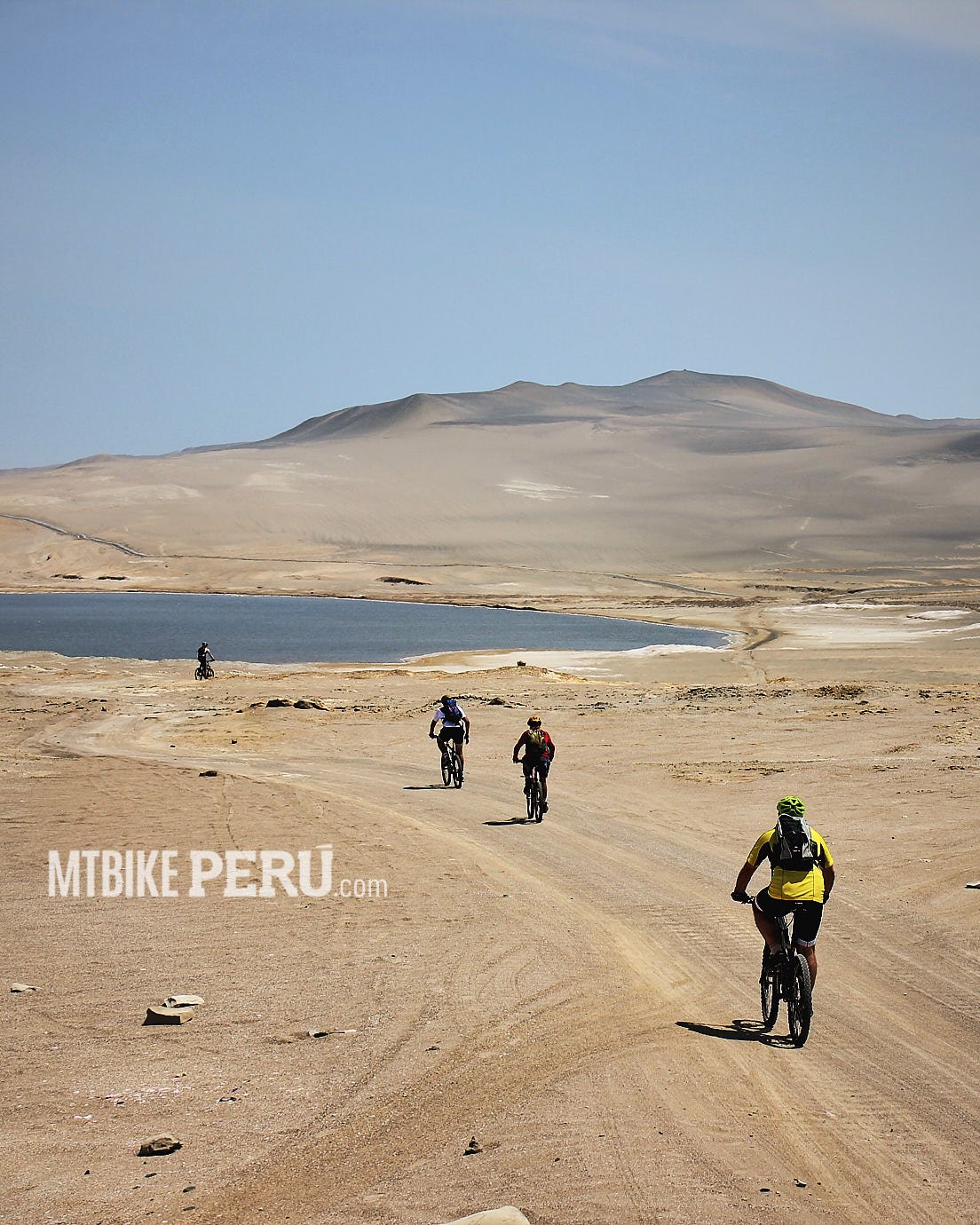
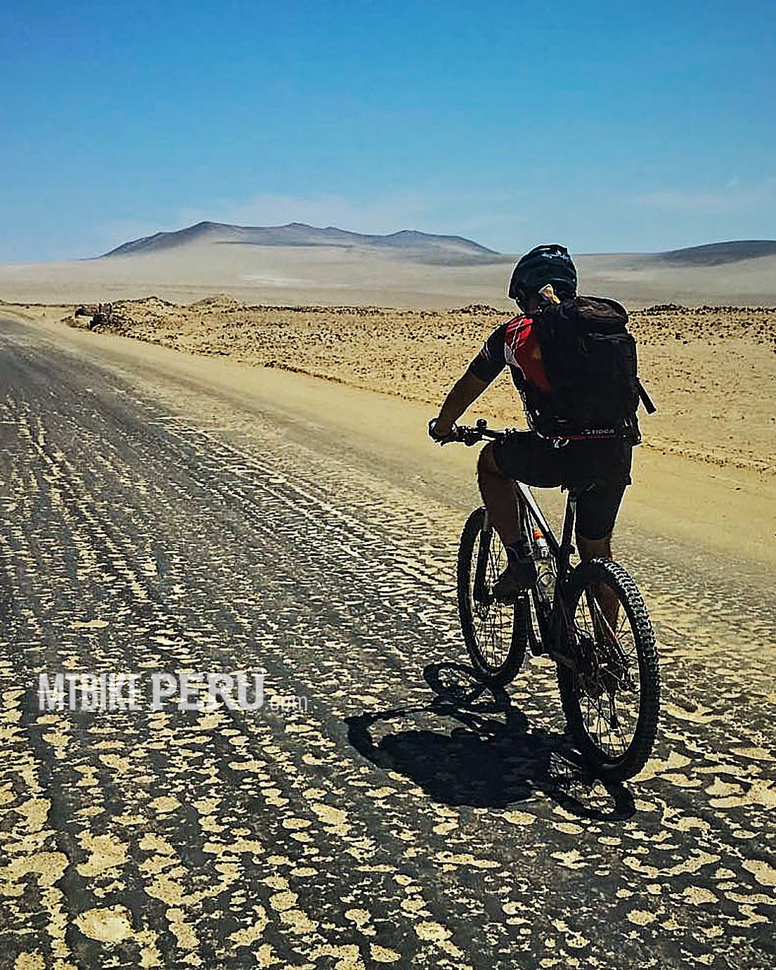
The National Reserve of Paracas has places where beauty and the open spaces make you wonder the nature.
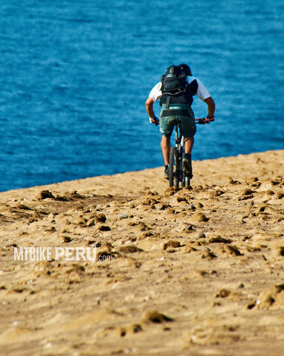
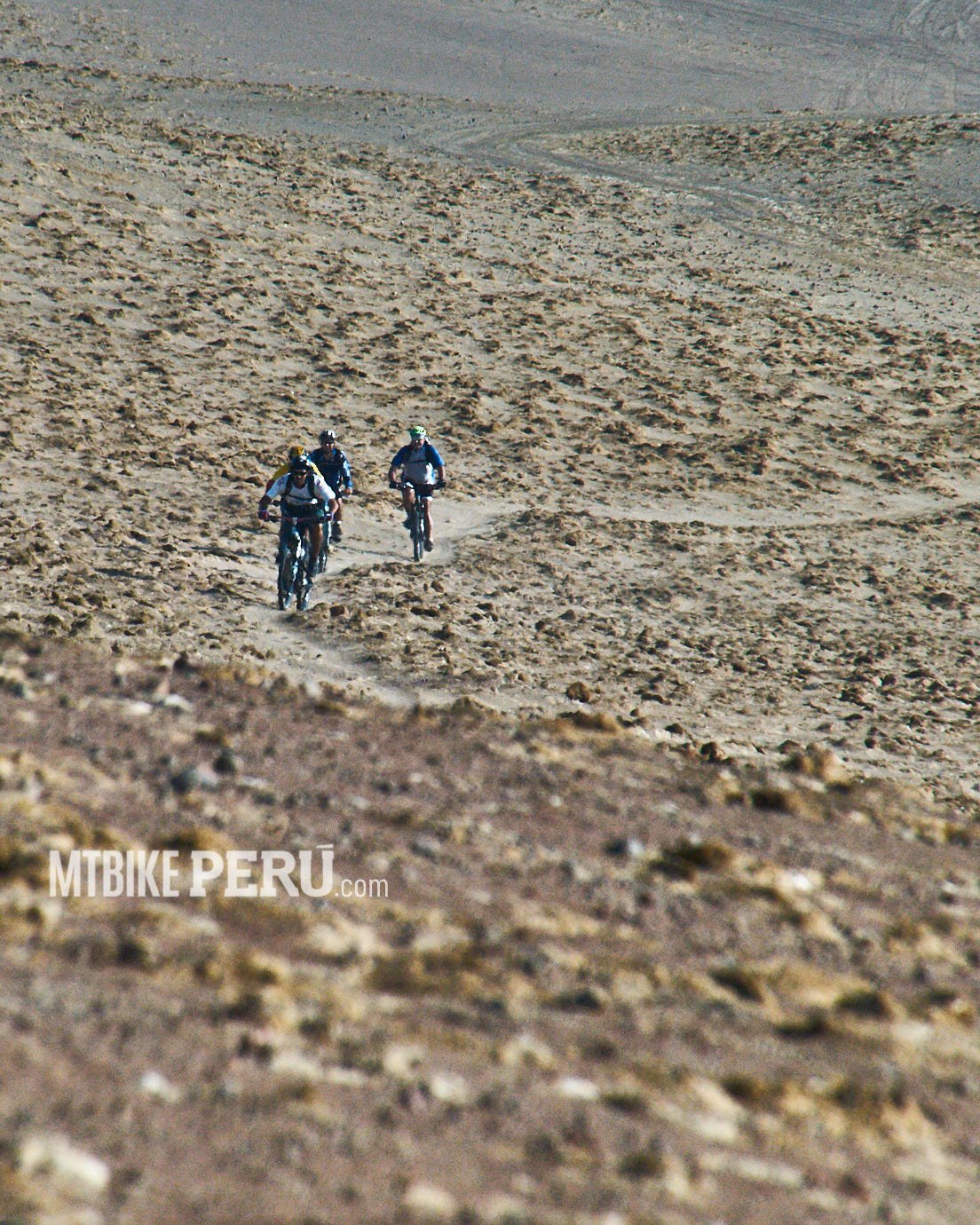
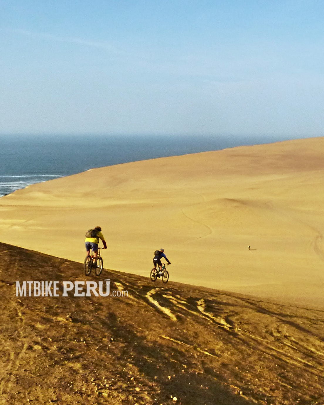
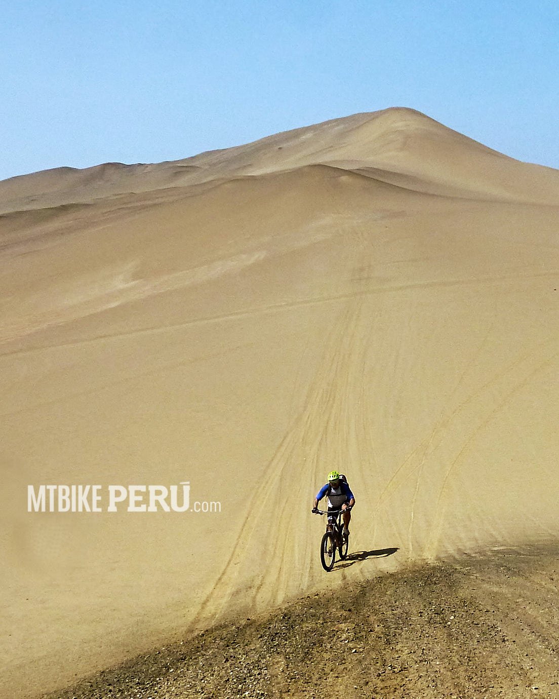
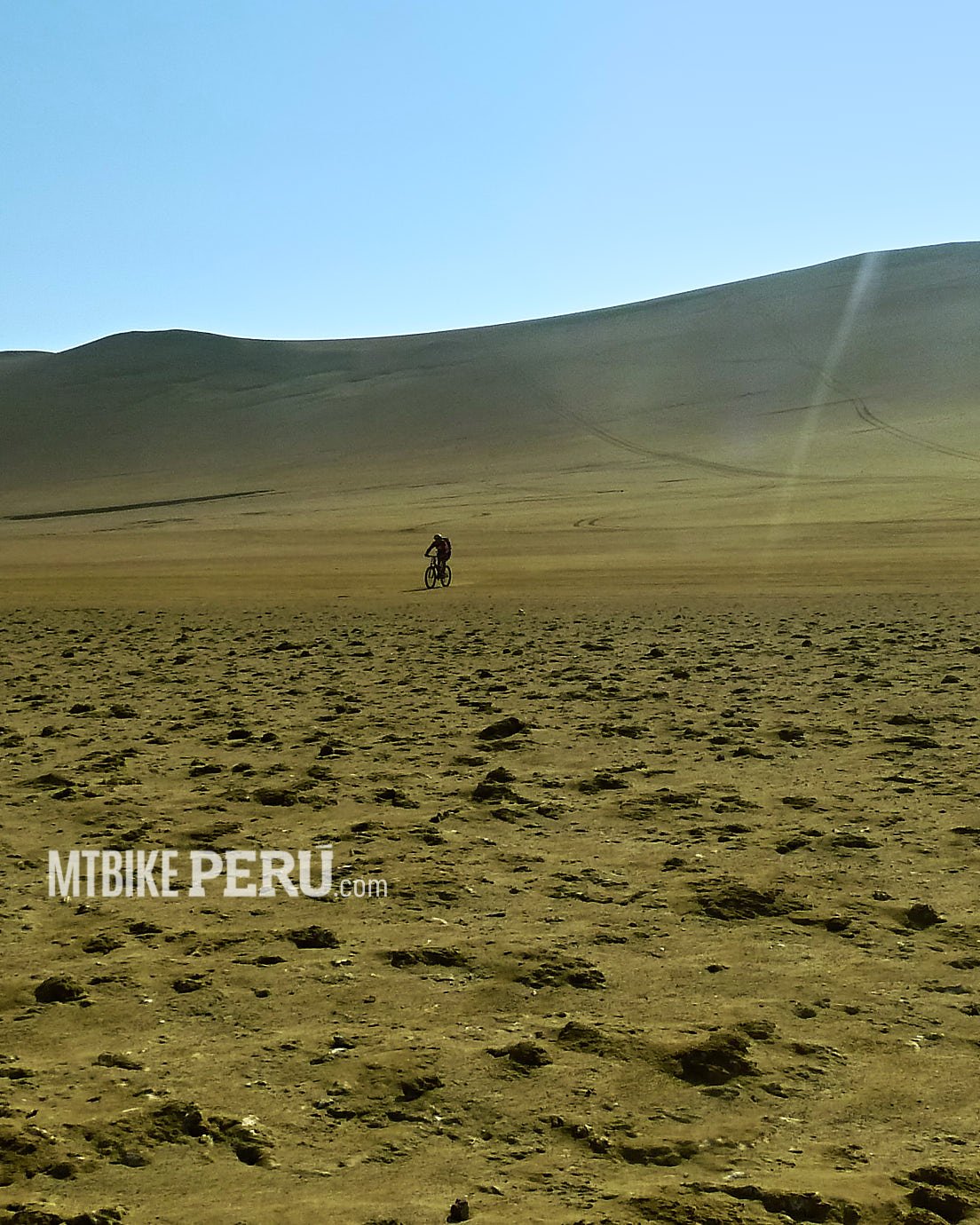
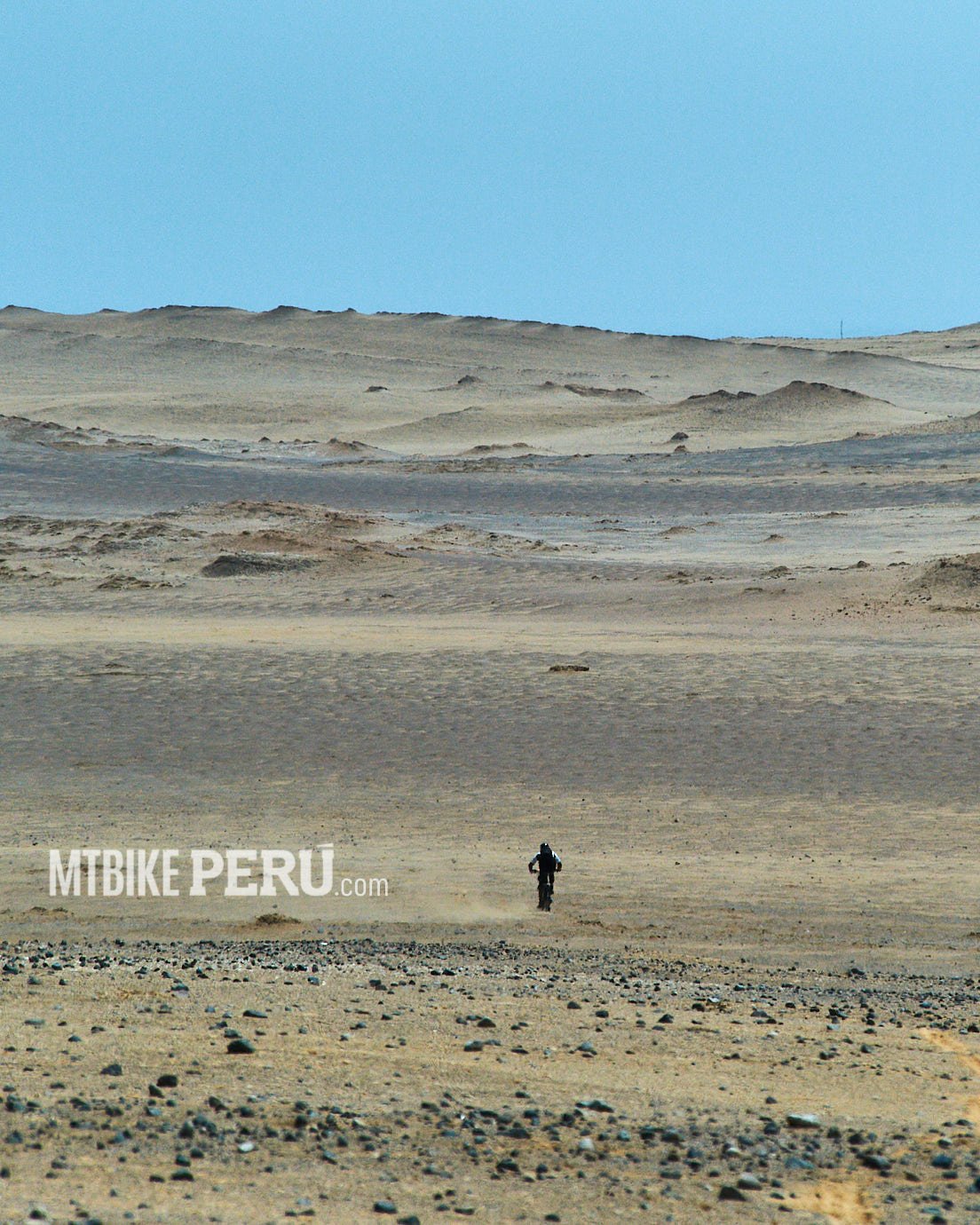
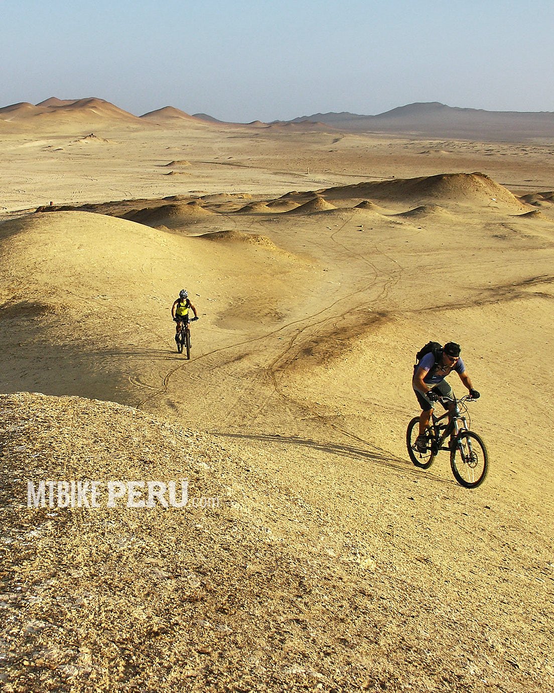
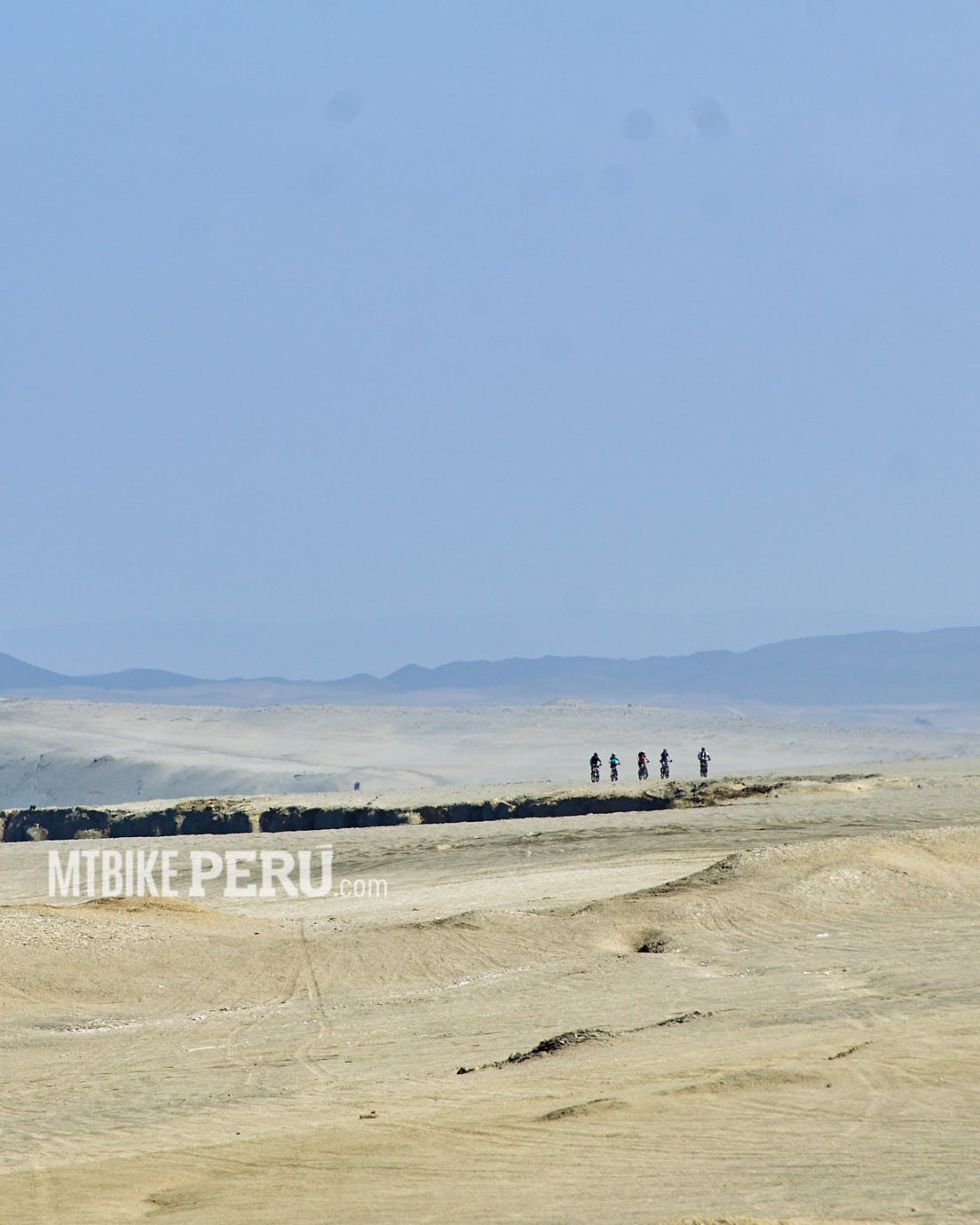
Years ago with my friend Cae, now living in Brazil, we usually share the ride with the hobby of photography, one day another friend Diego Alvarado a pro photographer, told us to go and ride in Paracas. We took his word and went to Paracas and scouting an area that none of us knew before. We did a part, but some years later I hiked with the guards of the park and I knew how to complete it with bikes. A couple of years later we decided to go and ride it, we started from the hotel and point Lagunillas and La Mina, then Mirador de Lobos and finally we met the Kraken, a desert to cross to finally appear at Cequion, at the main highway to San Martin port.
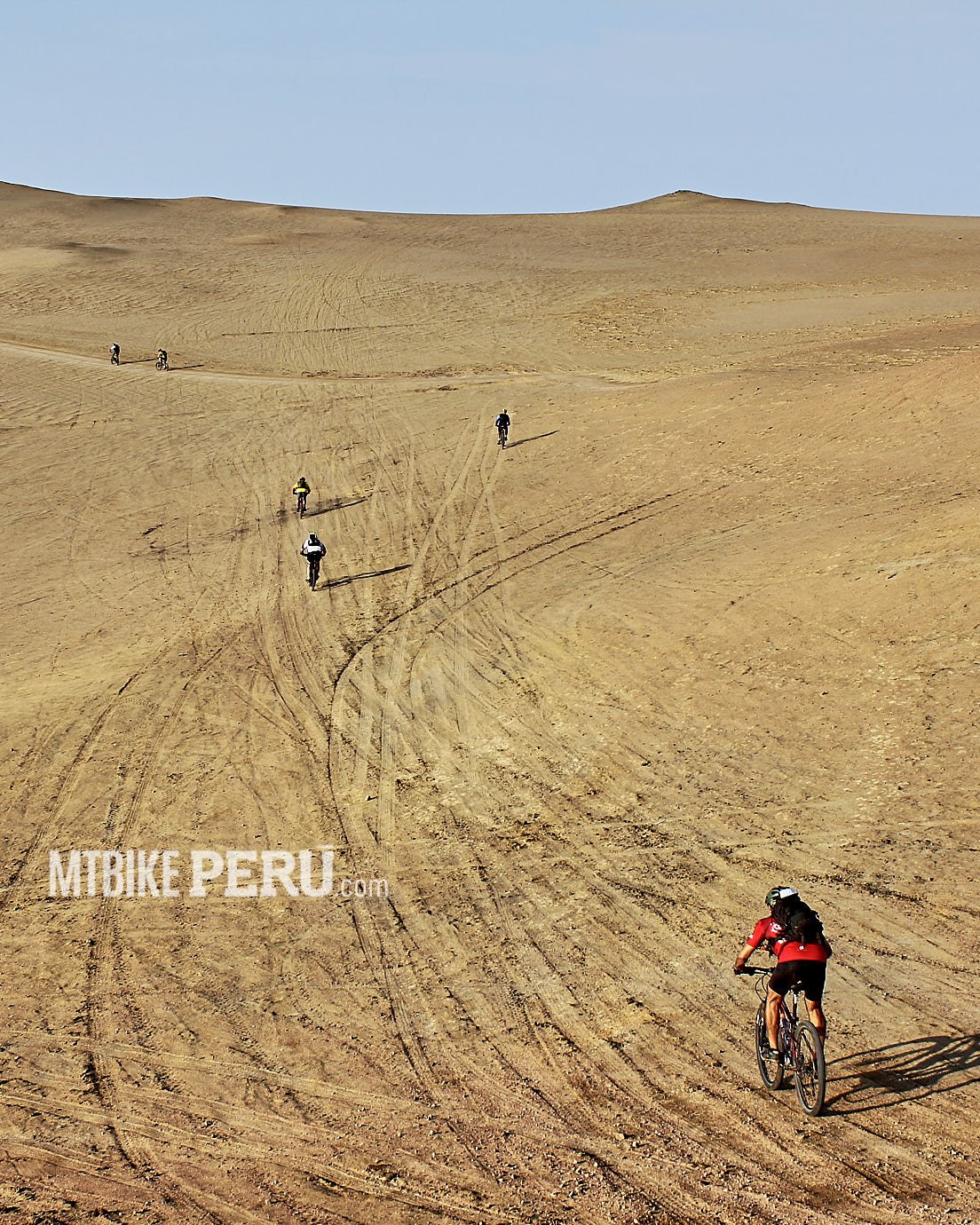
35 km climbing, downhill dunes, a bit of carrying the bikes, super landscapes. It is important to bring with you all your equipment and some food and a lot of water, if something happens there will be no one to help you and if you have to walk, hours are waiting for you.
Tirol Waterfalls
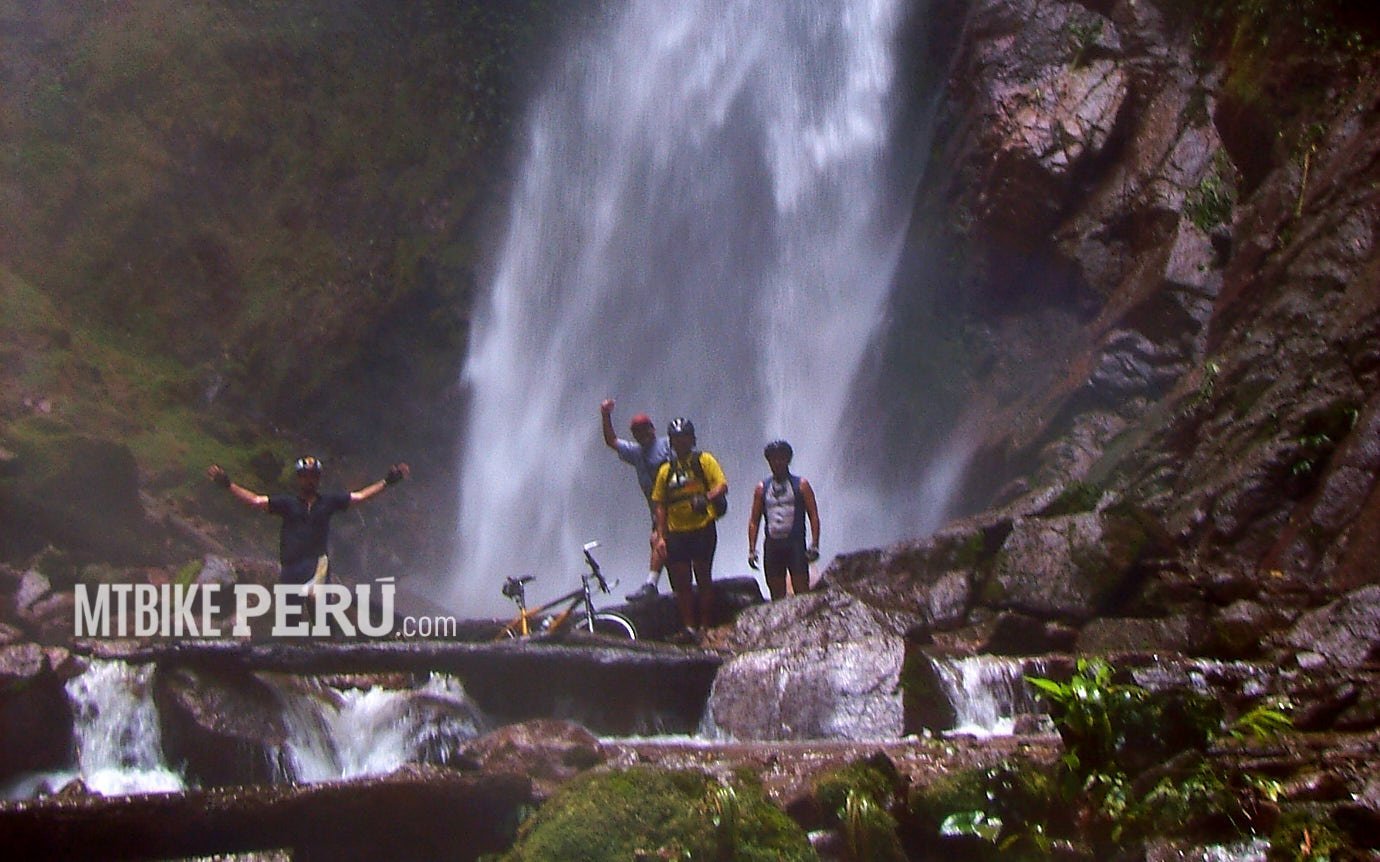
Tirol Waterfalls
In less than seven hours by land from Lima, you can traverse the Andes to reach the jungle known as Selva Central.
San Ramón is the gateway to various destinations: Satipo, Bayoz, Pozuzo, Oxapampa, Pampa Hermosa, Villa Rica, and Monobamba. Each place, nestled in the jungle, has its unique charm. Close to San Ramón is El Tirol, an old village in the highlands, likely of European descent. Nowadays, urban life thrives in the city, while the outskirts are dedicated to farming.
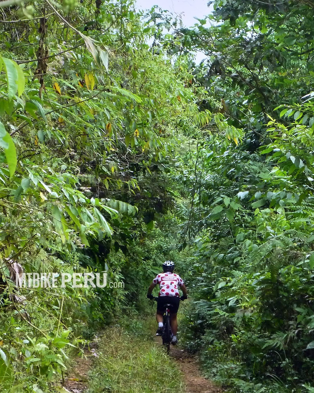
On some of our excursions, we ventured off the traditional routes and found a trail leading from the highlands straight to the base of a waterfall, towering over 100 meters. After a revitalizing cold swim, we returned riding via the hiking path. It’s advisable to visit on weekdays, avoiding holidays or weekends, and to come early to dodge the crowds and enjoy an unspoiled trail.
Don’t forget to purchase your ticket at the entrance; a small fee helps with the trail’s upkeep.
Lake Paca
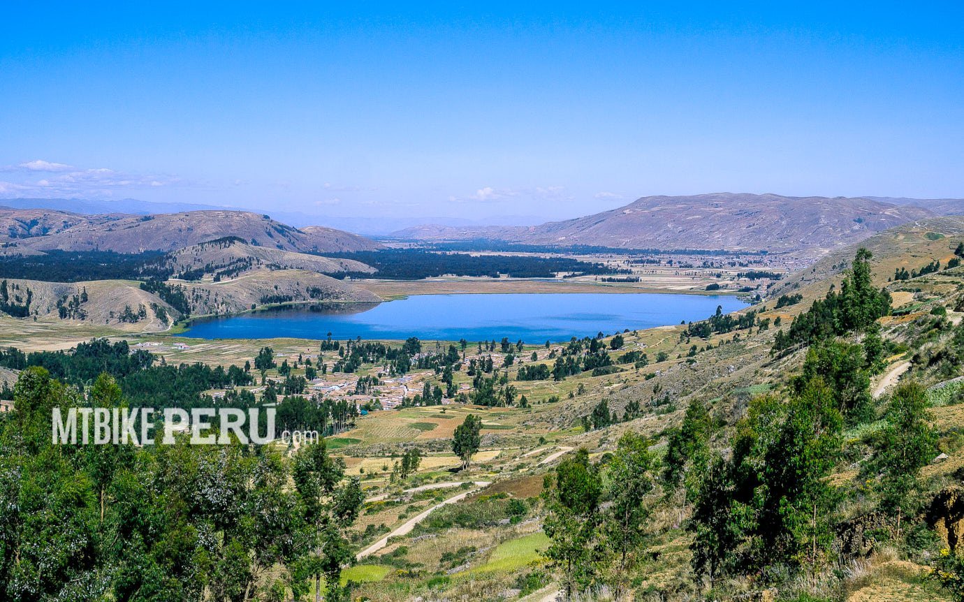
Paca is an iconic place in the Junin region, arriving at Mantaro valley on its left side you will find Jauja City, the first capital that the Spanish found and because of logistic issues was changed to move to the new city of Lima.
Very close to Jauja is Lake Paca, and we used this place as a zero point for many trips we did in the central region.
Asia Singletracks
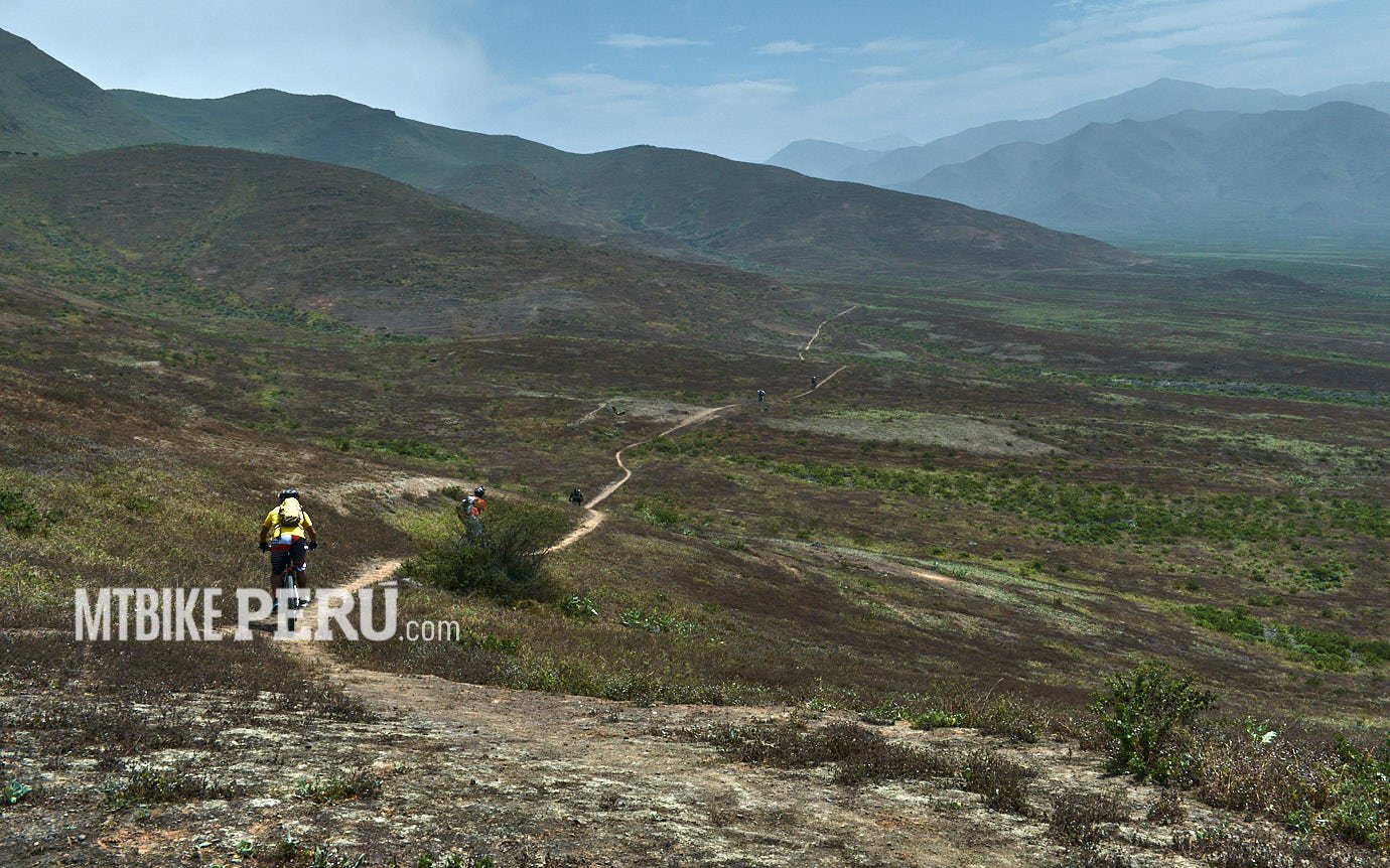
Lomas de Asia
Asia valley is almost 100K from Lima, but the name origin is based on the ancient local language. A drive for a couple of hours is needed to get there. The Lomas are a gift to mountain bikers, and they exist only on the Peruvian coast and a bit in Chile. After Pachacamac this is maybe the second best to ride. Only Lomas de Atiquipa, 600K South compares and surpasses in quality.
You may start from Asia or Bujama, I prefer Bujama.
Starting from there, the first part is a dry land to climb up and best if is very early, in summer is an inferno to climb with the sun burning your brain.
Once reached the pass, the land starts to get wide open, the tip is to get as left as you can, that way you will catch the singletrack and after that just have to follow it “lomeando” a word that means to flow with the side of the mountains.
Nice climbs, great XCs, some amazing drops, a dry land in summer, a very wet in winter, if the plan is to go in summer, at least 3lt of water and food is a must to carry on to survive the challenge.
Paracas south side
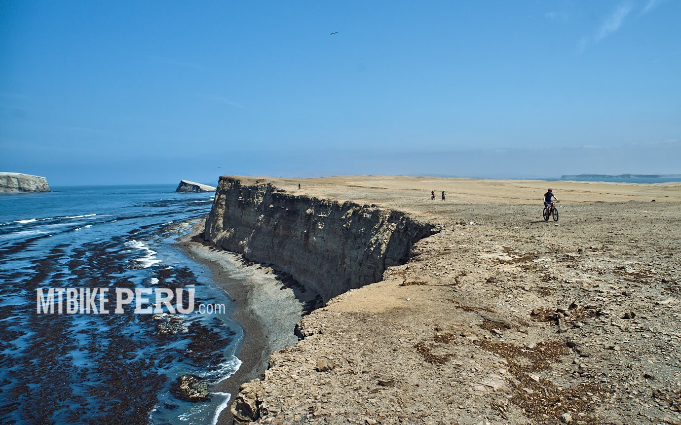
Paracas South side
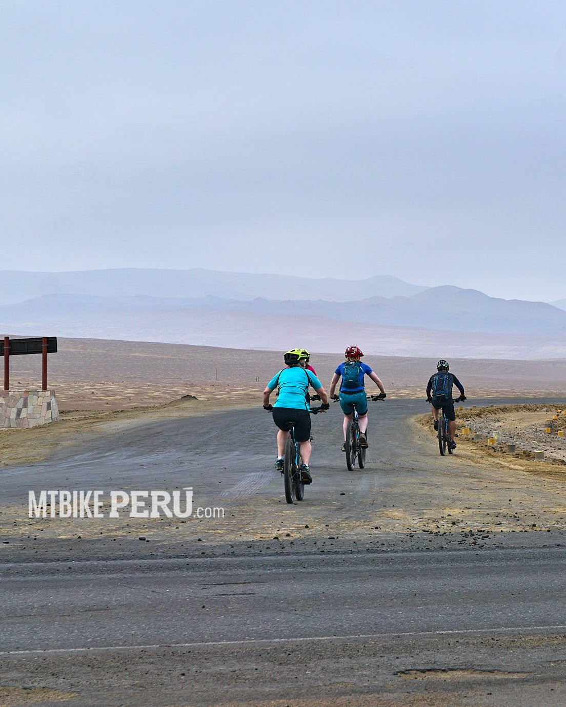
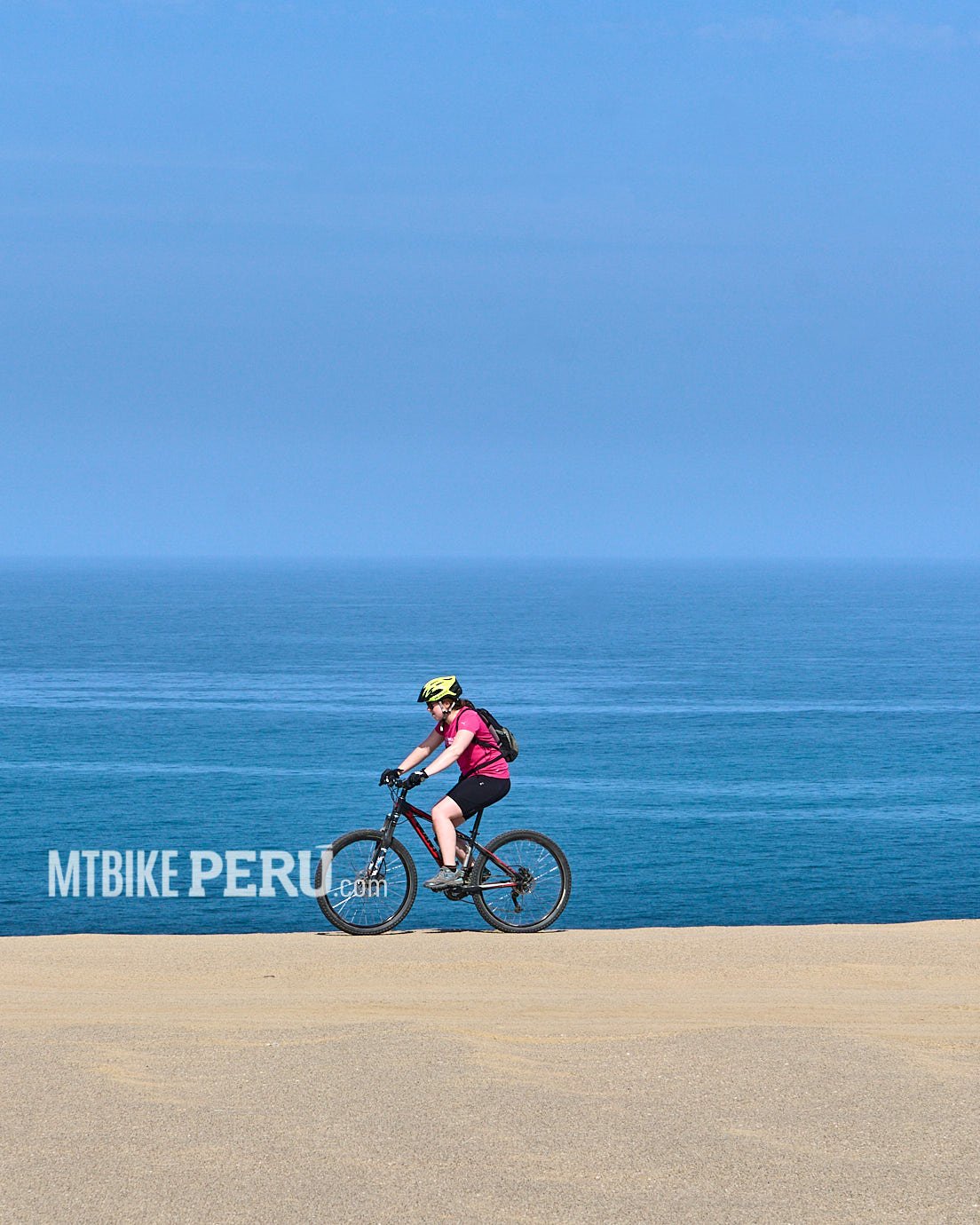
The National Reserve of Paracas is one of these places that deserve to be listed in the best and most wonderful places to ride. The south side has a lot of beaches with amazing landscapes. Remember to start early, wind in the afternoon could be your friend or foe.
Paracas is 3 to 4 hours south of Lima. You can get there by car or bus and the key to a successful ride is to start early, 6 am is better, but wind and sun may become a torture if you are still riding after 1 pm.
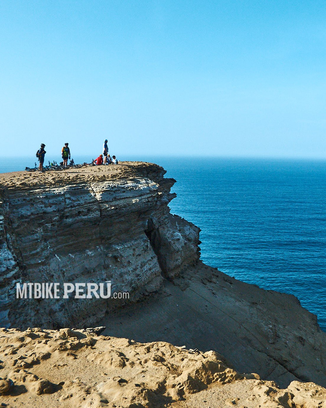
This route any other starts from Paracas Bay, and you must point south to the Cathedral viewpoint, then, have to follow all the coastline, reaching Playa Mendieta is not a big issue, only need to know a shortcut to ride down to Playon Beach. Once at Mendieta, you will enjoy the beach (if is not windy)
After Mendieta you may continue to Laguna Grande following the main road, you will not get lost, but you have to be prepared for a 100km day ride.
The return must get planned after noon to be helped by the strong winds that push us back to our starting point, that´s a good relief, anyway is not for free, so pedal is a must.
Caral on bikes
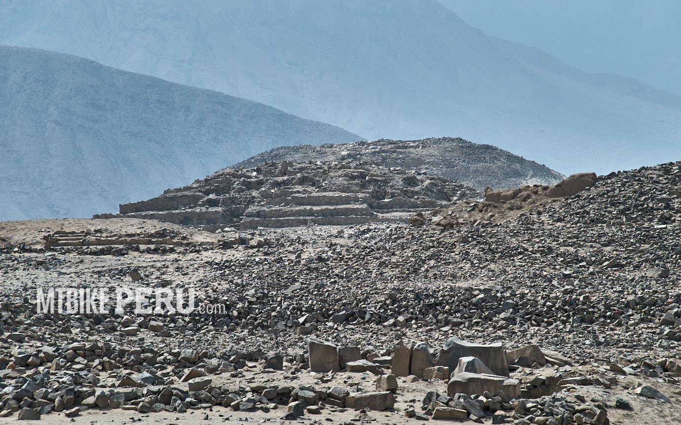
Caral
Caral is the main site of archaeological investigations, the beginning of Andean life, the pyramids have 5,000 years old, anyway our goal is not the archaeology but the environment that had not too many changes, except for human behaviour, for centuries.
Patapampa riding down to Colca
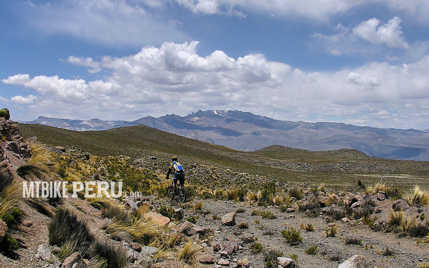
Patapampa, Arequipa
You can enjoy this ride on the way from Arequipa to Colca, or after you arrive in Chivay with some acclimatization for a ride above the 3500m.
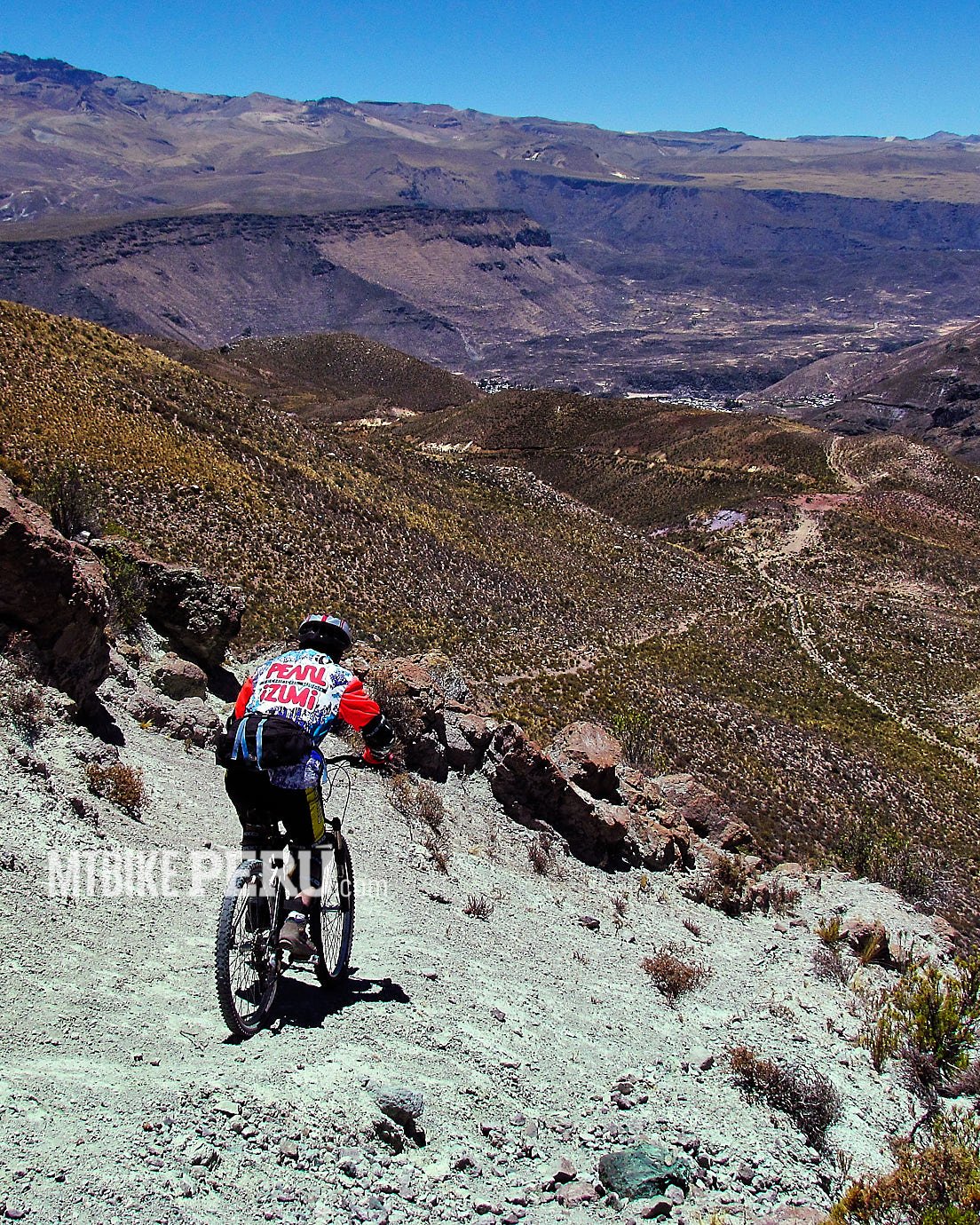
The ride starts at 4900mt height. Nearly 15,000 ft. Once at the highest point: Patapampa, you may choose from the downhill trail by the singletracks or the road, both ways take you to Chivay.
The thing is that we prefer the tough way, so the road is not an option. The singletrack is quite an intermediate level, not too steep and is mostly fluid even with a hardtail. The Patapampa trail to Chivay is like 1 to 2 hours depending on what trail you choose, so is always better to hire a local guide, we recommend finding Pedro Samayani and he will help you with all stuff you need.
Once at the valley, you may choose to continue by the main road to Yanque village or by the gravel road on the other side of the Colca River, crossing Chivay to add a loop if you will stay at Chivay or end in some of the points on the road if you will not going to stay at Chivay village.
Four Lakes of Cusco
Beautiful landscapes surround this biking ride in a quiet land at 3800m height, historically the place where the most important Andean revolution against Spain’s crown began and ended.
Continue readingTambillo on the way to the jungle
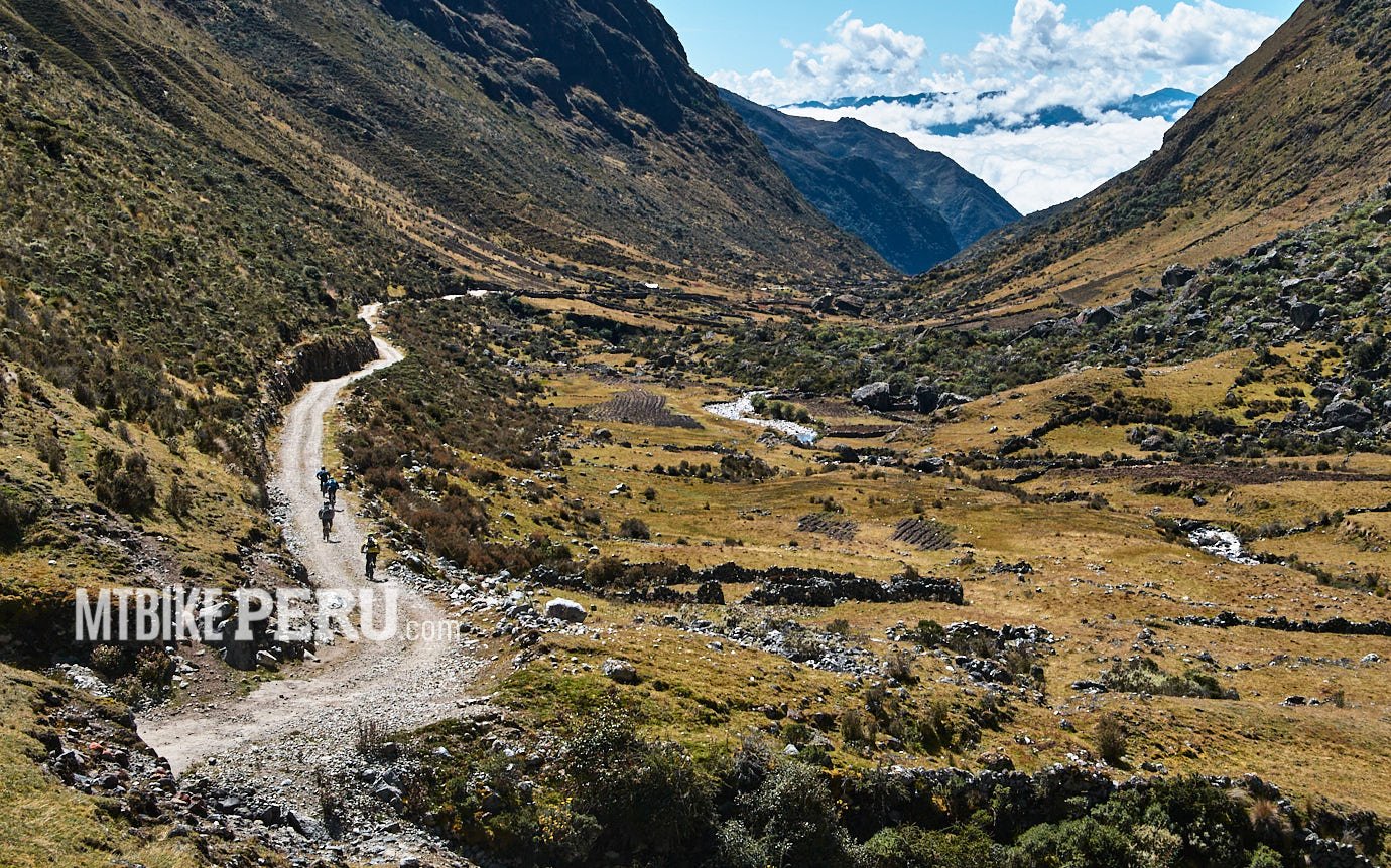
From Tambillo to San Ramon
Tambillo is a forgotten small town in the jungle of Jauja, the province best well known as an Andean place.
After many visits we found that the adventorous way we were looking to reach the Central Jungle without riding by the main highway was by a gravel road with very low transit, almost none.
So to get to this place, you can go by car to Ricran village, then taking the detour to the highpass of Tambillo and start the ride down to the Jungle.
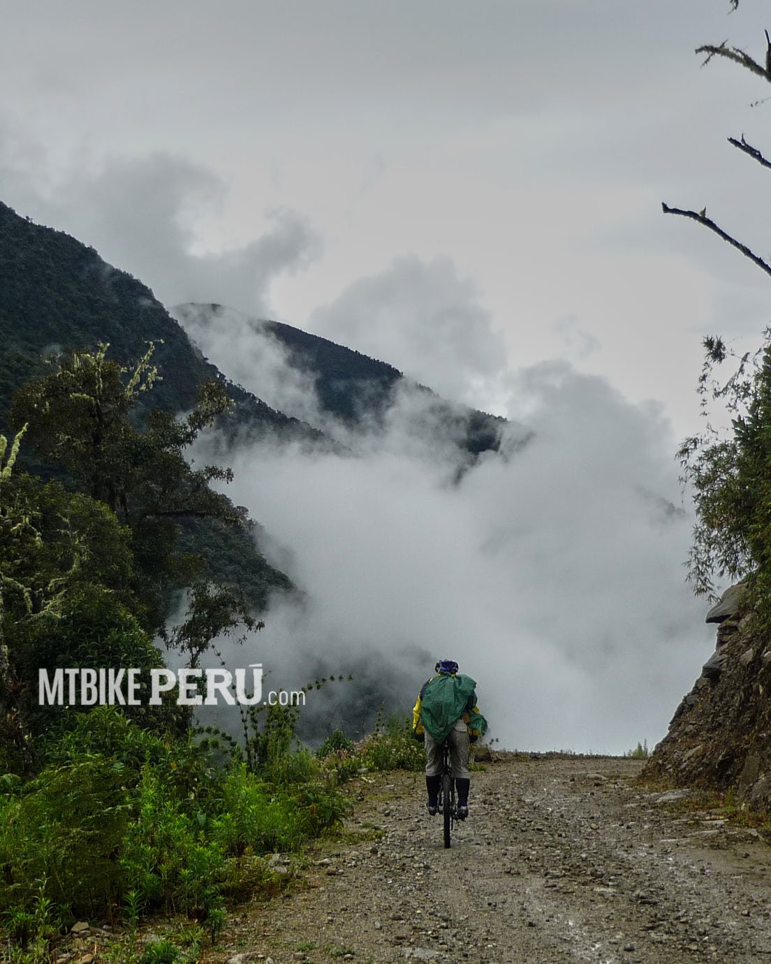
We started from 4600m at Tambillo distrit, straight down to Monobamba at 2000m approx. riding down crossing many altitudes and climates. And as usual in these places weather is always an enigma. You can get cold, web, rainy, misty at the top and you can continue wet all the way down or reach a sunny and very hot day.
After Monobamba, the downhill turns not as fast, from this village we must ride and pedal to reach Vitoc, the entrance to San Ramon city, the main city at the entrance of Chanchamayo valley, known in the country as the Selva Central.
For your records the ride takes around 6 hours dropping nearly than 4000m by gravel road, anyway if you are tough a brave you can can start pedaling from Ricran and climb a 1,000 mt for a couple or three hours before the downhill ride.

